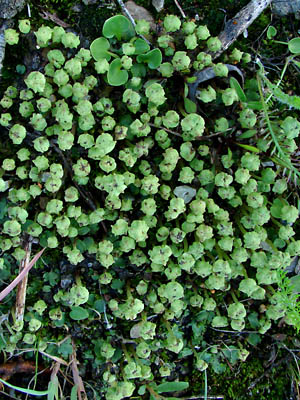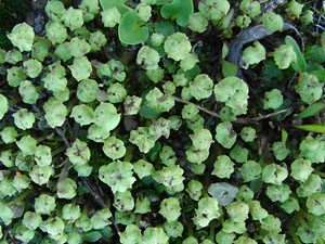
2. June 12, 2009. Close-up of some of the
plants in photo 1.
|

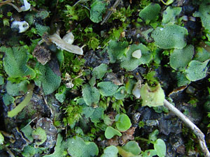
3. June 16, 2011. a portion of a round
cluster of plants.
|

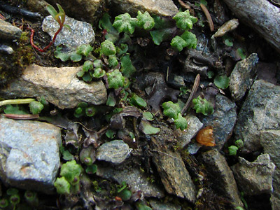
4. June 16, 2011. Closer view of the cluster
photo 3. Unlike Marchantia polymorpha,
only the archegonia (female structures) are
raised on stalks above the thalli.
|

5. June 16, 2011. Similar to photo 5.
However, the archegonia have been removed
to show the thalli. |
Photos 1 and 2 taken on the hillside above
the right limit of Harrison creek between
Squaw creek and Bottom Dollar creek.
Latitude: N 65° 22' 19.045"
Longitude: W 144° 51' 22.628"
Altitude: 742.18 m.
Photos 3-5 taken south of Central
65° 33.84' N, 144° 48.46' W
Elev. 950 ft.
|
|


