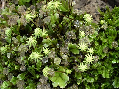
1. Photo showing the thalli of the species
along with the antheridiophores
(flat-topped male reproductive structure) and
the archegoniophores (fingered umbrella-like
female reproductive structure).
|
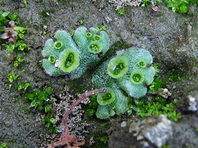
2. Thalli with gemmae cups containing gemmae
with which the plant reproduces asexually.
|
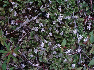
3. Another photo showing the various structures
with last year's archegoniophores along with
the current crop. Fireweed has begun to
displace the liverworts.
|
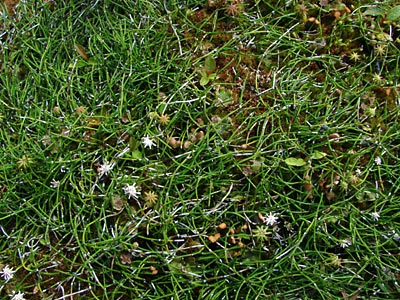
4. Mosses and Equisetum scirpoides, a horsetail
known as the dwarf scouring rush beginning
to crowd out the liverwort.
|
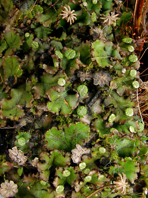
5. May 14, 2009. Plants with the remains of
plants from the previous years. Antheridiophores
at an early stage.
|
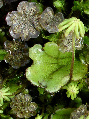
6. Close-up of male and female plants from a
different cropping . of photo 1.
|
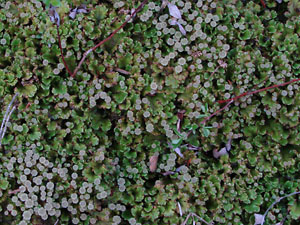
7. May 26, 2010. A group of plants with the
thalli and many antheridiophores and a few
archegoniophores from last year.
|
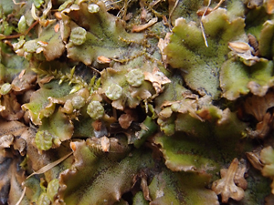
8. April 8, 2012. Antheridiophores at an
early stage; Dried Betula neoalaskana bracts
from female catkins also present.
|
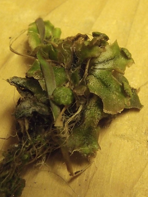
9 . April 8, 2012. Side view of a portion
of the plant cluster in photo 8
|
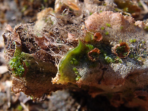
10 . April 9, 2012. Thalli, just recovering from
winter with gemmae, some in the cups and
others scattered about.
|
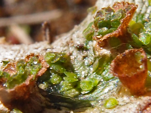
11 . April 9, 2012. Closer view of the gemmae
and cups in photo 10.
|
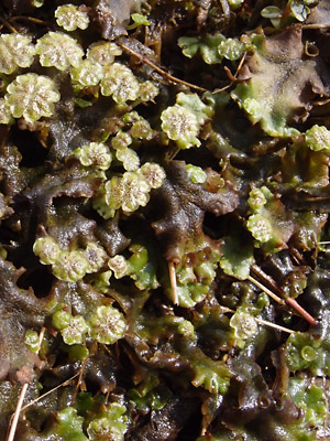
12 . April 28, 2012. A group of plants which
were temporarily under water. Antheridiophores
are at various stages and there are a few
gemmae cups.
|
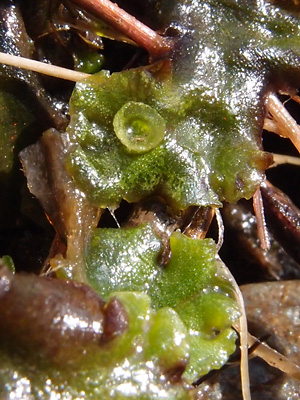
13 . April 28, 2012. Close-up of a thallus
with a gemmae cup.
|
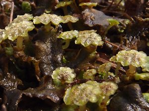
14 . April 28, 2012. Profile view of some of the
plants in photo 12 showing the stalks on the
antheridiophores.
|
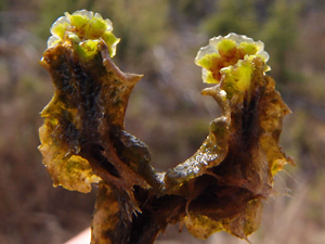
15 . April 28, 2012. No idea, but it was
removed from the cluster of plants part of
which were shown in photo 12.
|
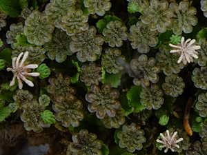
16. June 11, 2014. A group of plants with the
thalli and many antheridiophores, a few
developing archegoniophores and
archegoniophores from last year (white).
|
Photos 1 and 6 taken near 136 mile Steese
Highway
Photos 2 and 5 taken on the bluff southeast
of the lake south of 134 mile Steese Highway
Photos 3 and 4 taken between Seventeenmile
slough and the Birch Creek pingo.
65° 42.3' N, 144° 23.6' W
Elev. 700 ft.
Photos 7 and 16 taken on the trail-survey
line leading to the thaw lake south of
134 mile Steese Highway.
65° 35.8' N, 144° 36.729' W
Elev. 900 ft.
Photos 8-11 taken at the
museum in Central.
65° 34.3' N, 144° 48.6' W
Elev. 950 ft.
|
Photos 12-15 taken south of Central
65° 33.84' N, 144° 48.46' W
Elev. 950 ft.
|


