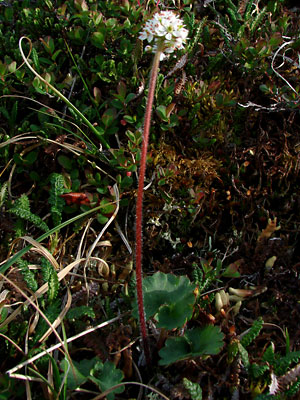
1. Late June. A single plant with a
compact terminal blossom cluster. Note how
red and hairy the stem is and ignore the
out-of-focus cluster.
|
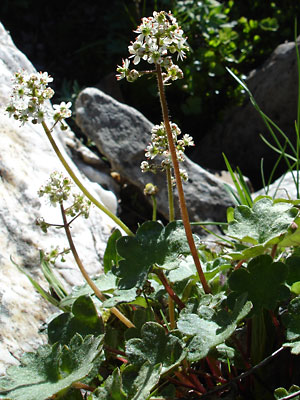
2. Early July. Several plants with blossom
clusters which have branched out. Note that
the stems vary in color.
|
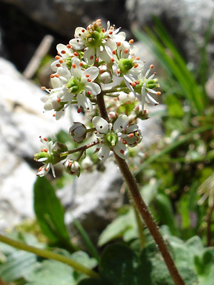
3. Early July. Close-up of the terminal
cluster of the red-stemmed plant in photo 2.
The sepals have a green base with red tips.
Count the styles on the terminal blossom.
|
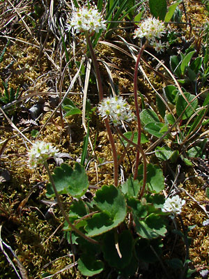
4. Mid June. Several plants with compact
terminal clusters.
|
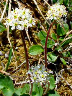
5. Mid June. Closer view of three of the
terminal flower clusters in photo 4.
Note that the twin styles have already developed.
|
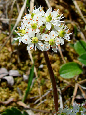
6. Close-up of one of the clusters in photos
4 and 5. Note the flesh-colored tips on the
styles and the degree to which these tips
bend outward.
|
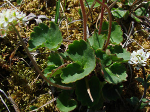
7. Mid-June. Bases of the plants in the
previous three photos.
|
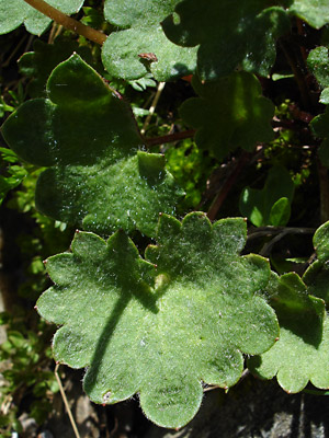
8. Early July. A hairy, leathery leaf.
|
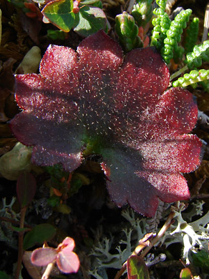
9. July 29, 2009. A hairy red leathery leaf.
|
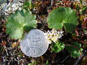
10. June 12, 2009. Plant with blossom
prior to stem elongation.
|
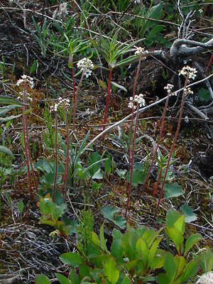
11. June 12, 2009. A group of plants with
elongated stems.
|
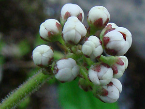
12. July 11, 2009. A terminal cluster in bud.
|
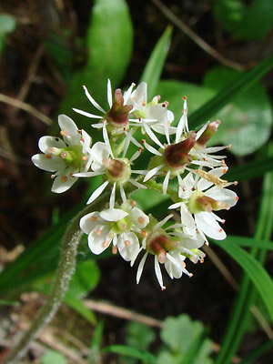
13. July 11, 2009. A terminal cluster.
Note that some of the individual flowers
have dropped their petals and sepals.
|
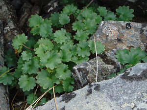
14. July 29, 2009. A group of leaves with a
single stem.
|
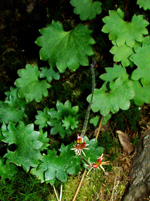
15. July 29, 2009. Maturing follicles. The left
bloom has three follicles rather than the
usual two.
|
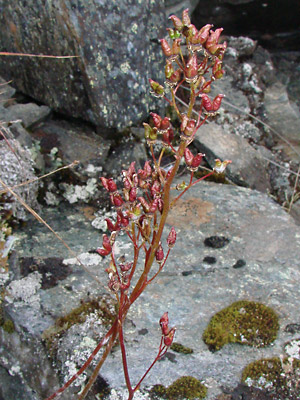
16. July 29, 2009. A plant which has gone
to seed. Note that the stem and the pedicels
have elongated considerably.
|
Photo 1 taken along the Pinnell
Mountain Trail between milepost 2
and milepost 3.
Photos 2, 3 and 8 taken in the saddle between
Miller Fork of Eagle Creek and Miller Creek.
65° 28.650' N, 145° 22.151' W
Elev. 3700 ft
Photos 4-7 taken on Mastodon
Creek beyond the end of the road.
65° 26.2' N, 145° 19.6' W
Elev. 3200 ft.
Photos 9 and 14-16 taken above the Pinnell
Mountain Trail near milepost 2.
Latitude: N 65° 29' 41.345"
Longitude: W 145° 27' 53.28"
Altitude: 1191.45 m
Photos 10 and 11 taken on the
hillside above the right limit of Harrison creek
between Squaw creek and Bottom Dollar creek.
Latitude: N 65° 22' 28.092"
Longitude: W 144° 51' 1.60"
Altitude: 658.58 m
|
Photos 12 and 13 taken in a ravine west of
Twelvemile Summit.
65° 23.6' N, 145° 58.8' W
Elev. 2950 ft.
|


