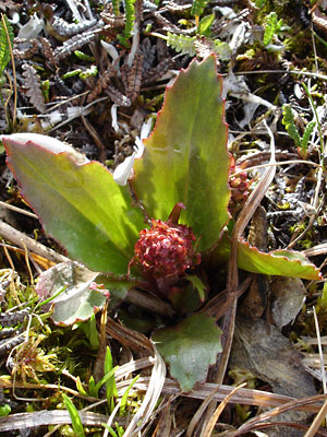
1. Late June. A plant in bud.
|
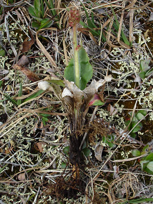
2. Mid-June. An entire plant in bud.
|
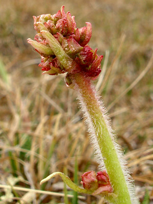
3. Mid-June. Close-up of the bud in photo 2.
|
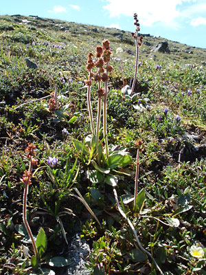
4. Early July. A section of a hillside which was
highly populated with the species.
|
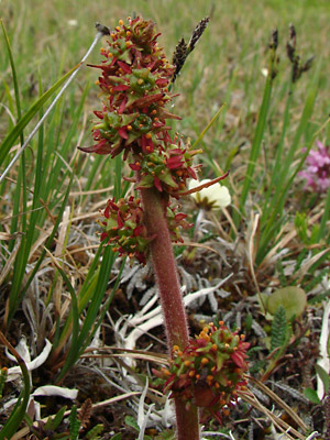
5. Mid-June. Upper portion of a stem.
|
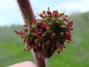
6. Mid June. Close-up of the lower
cluster in photo 5.
|
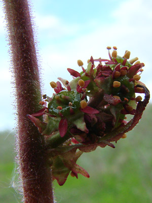
7. Mid-June. Another close-up of the
cluster from a different angle.
|
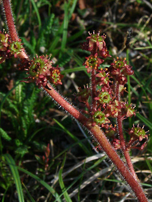
8. Late June. A section of stem from a
branched plant.
|
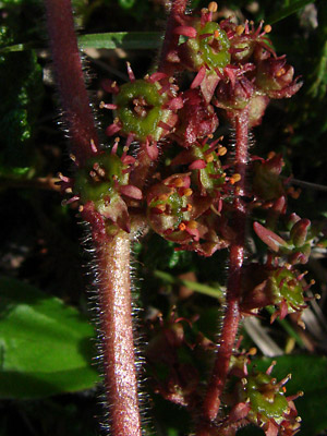
9. Close-up of the branch in photo 8.
|
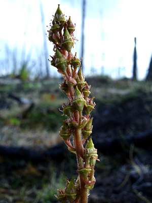
10. Late June. A seeding stem photographed in
a burn area in a lowland swamp.
|
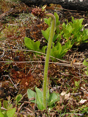
11. May 28, 2009. Two plants in bud
|
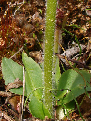
12. May 28, 2009. Close-up of the bases of the
two plants in photo 11. |
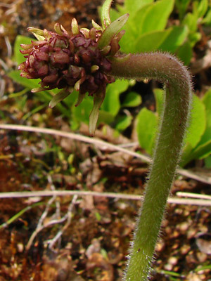
13. May 28, 2009. Close-up of the upper
spike of one of the plants in photo 11.
|
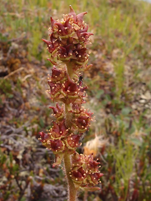
14. July 5, 2012. Blossoms with developing
2-stigma ovaries.
|
Photos 1, 5-7, 8-9 and 14 taken on the Central
side of Eagle Summit.
65° 30.08' N, 145° 22.84' W
Elev. 3700 ft.
Photos 2 and 3 taken on the Mountain labeled
Eagle Summit (USGS).
65°29.0' N, 145°23.4' W
Elev. 4000 ft.
Photo 4 taken above the Pinnell
Mountain Trail near milepost 2.
65° 29.55' N, 145° 28.04' W
Elev. 4050 ft.
Photo 10 taken on the swamp
between Seventeenmile Slough and
the Birch Creek Pingo.
65° 42.298' N, 144° 23.371' W
Elev. 700 ft.
|
Photos 11-13 taken on the trail-survey
line leading to the thaw lake south of
134 mile Steese Highway.
65° 35.8' N, 144° 36.729' W
Elev. 900 ft.
|
|
|


