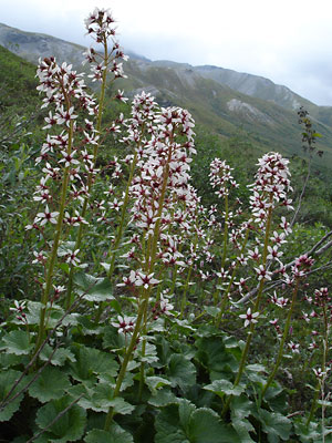
1. Mid-July. Several plants blooming
north of the Arctic Circle in the
Brooks Range.
|
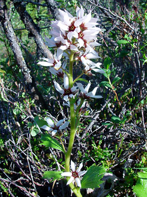
2. Mid-June. A blooming spike. The
individual flowers arise from the axils of
the stem leaves which are reduced as the stem
is ascended.
|
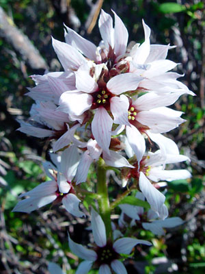
3. Mid-June. Close-up view of the spike in
photo 2.
|
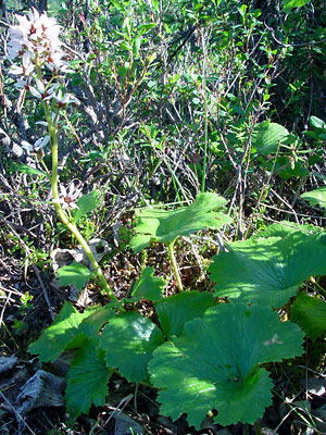
4. Mid-June. Blooming flower stalk with
large basal leaves.
|
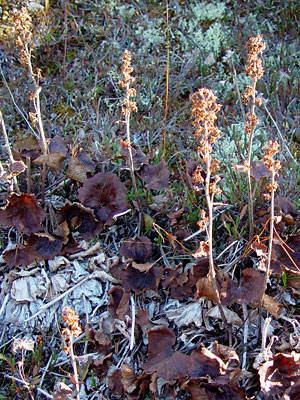
5. Early September. Seeded flower stalks
with leaves in fall color.
|
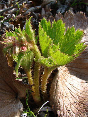
6. June 12, 2009. A sprouting plant.
|
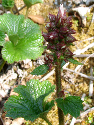
7. June 12, 2009. Terminal inflorescence
in early bud stage.
|
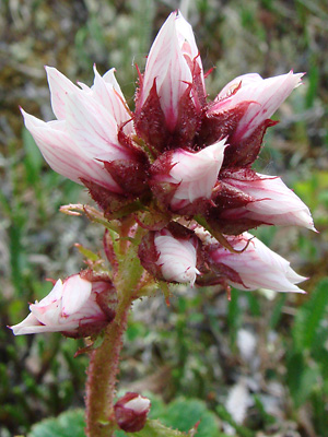
8. June 12, 2009. Terminal inflorescence
with buds beginning to open.
|
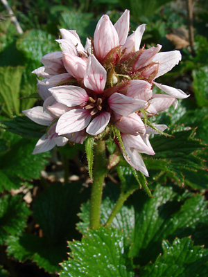
9. June 12, 2009. Terminal inflorescence
With buds and blossoms.
|
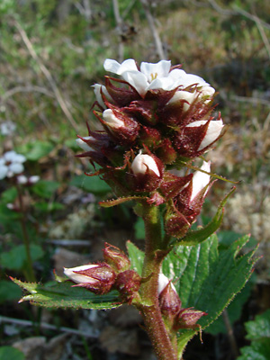
10. June 12, 2009. Similar to photo 10 with
buds and one blossom.
|
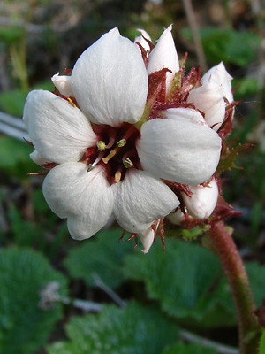
11. June 12, 2009. Another terminal
inflorescence with buds and a single blossom.
|
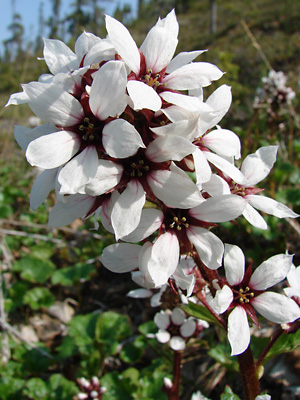
12. June 12, 2009. Elongated terminal
inflorescence in full bloom.
|
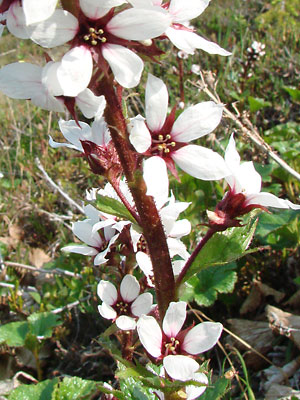
13. June 12, 2009. Mid-section of an elongated
terminal inflorescence in full bloom.
|
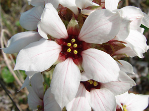
14. June 12, 2009. Close-up of a Blossom
|
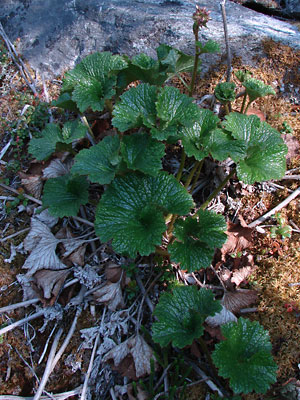
15. June 12, 2009. Plant at an early stage
showing leaves.
|
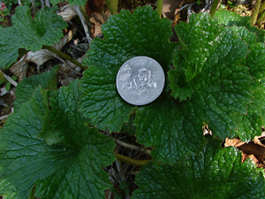
16. June 12, 2009. Close-up of leaves
with coin for size comparison.
|
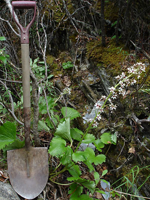
17. July 6, 2009. Creekbed specimen with
inflorescence fully elongated.
|
Photo 1 taken along the Dalton Highway
north of Chandalar Shelf and south of
Atigun Pass
68° N, 149° W
Elev. 3500 ft.
Photos 2-5 and 6-16 taken above the right
limit of Harrison Creek just upstream
from the confluence with Bottom Dollar Creek.
65° 22.345' N, 144° 51.383' W
Elev. 2375 ft.
Photo 17 taken along Lower
Fork creek near Coldfoot.
67° 11.5' N, 150° 24.3' W
Elev. 1150 ft.
|


