Home Page
Kingdom
Index Plant
Index Magnoliopsida
Index Rosaceae
Index
9 photos.
A small species known as the "alpine avens" or "Ross' avens".
ITIS Taxonomic Serial No. 24660
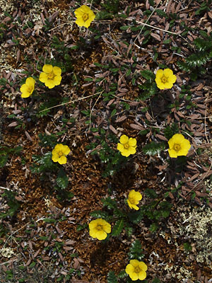
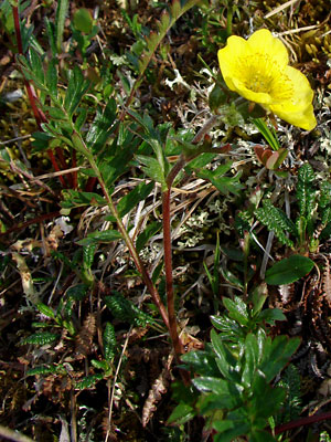
1. Late June. Plants with blossoms.
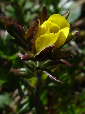 2. Early July. A single bud. |
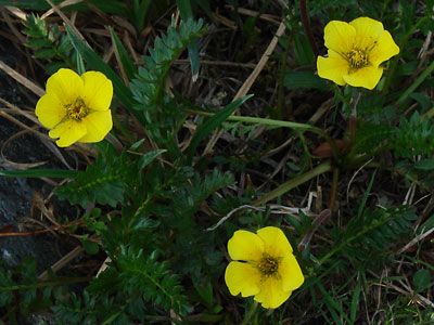
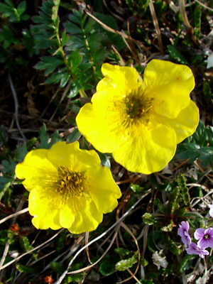 3. Late June. A pair of blossoms. |
 4. Early July. A single blossom taken from below to show the sepals. |
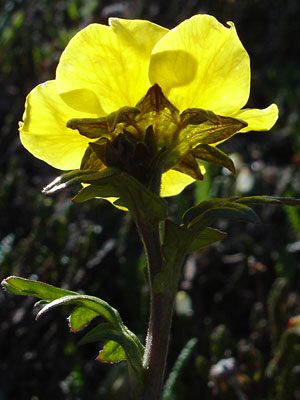
 5. Late June. Side view of a plant with blossom. |
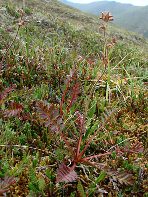
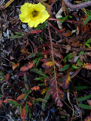 6. Early September. Blooming plant with leaves in fall color. |
|
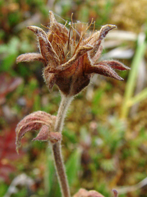 8. July 29, 2009. Seed head of plant in photo 7. |
|
Photos 1, 3, 5 and 6 taken along the Pinnell Photo 2 taken on Mastodon photo 4 taken above the Pinnell Photos 7 and 8 taken above the Pinnell
|
Photo 9 taken in the saddle between |
||