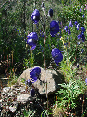
2. Early July. A branched stem with several
blossoms and buds at the tip. Note the
buds at various stages on the branch
arising from a leaflike bract.
|
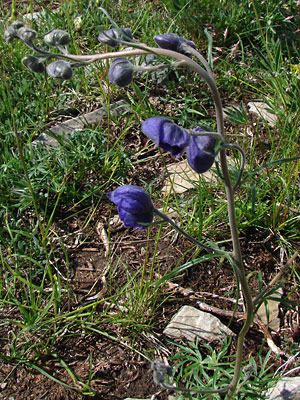
3. Late June. Branched stem at an
earlier stage. The upper bracts are linear and
those at the tip of the stem arise beyond
the base of the pedicel.
|
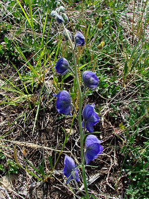
4. Late June. A stem with blossoms below
and green buds above.
|
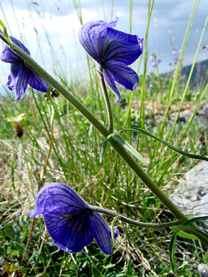
5. Late June. Blossoms with palmatifid bracts,
linear bracts and bractlets.
|
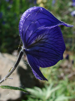
6. Early July. Close-up side view of
a blossom.
|
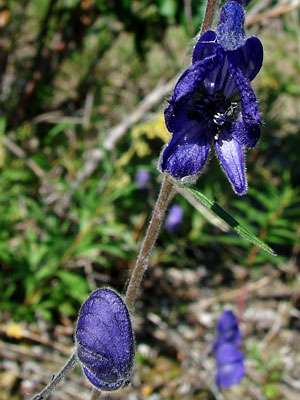
7. Early July. Looking down the throat
of a blossom.
|
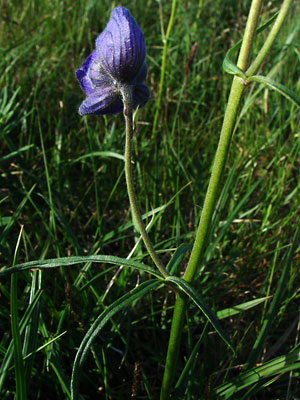
8. Late June. Blossom arising from a palmatifid
bract.
|
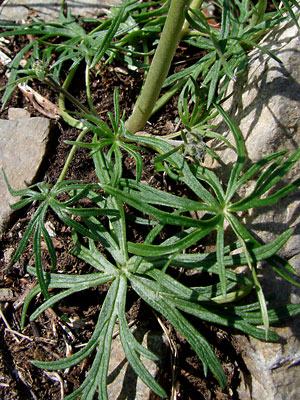
9. Late June. Leaves near the bottom
of the plant.
|
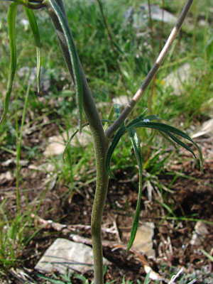
10. Late June. Close-up of branching.
|
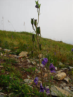
11. Mid-June Upper part of a plant in seed
With the lower part of the plant still in bloom
|
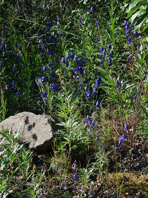
12. Early July. A group of plants in bloom with
Epilobium angustifolium and Artemisia tilesii.
|
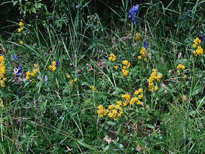
13. Early July. A few plants with Solidago
multiradiata and Artemisia arctica.
|
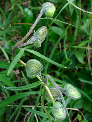
14. July 11, 2009. View of blossoms before the
calyx develops its purple color.
|
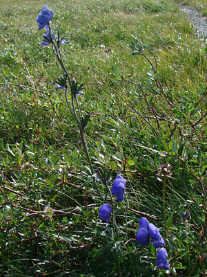
15. July 29, 2009. Plant with both blossoms
and seed pods (follicles).
|
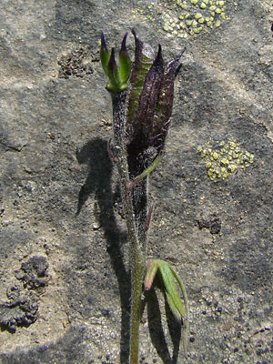
16. July 29, 2009. Upper section of
a stem showing follicles at different stages.
|
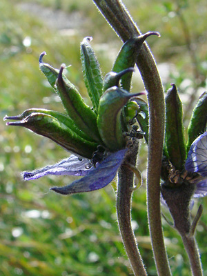
17. July 29, 2009. Close-up of follicles. The
number of follicles per pedicel varies from
3 to 8 rather than 3 to 5 as listed in some
sources..
|
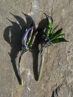
18. July 29, 2009. Two pedicels with
follicles.
|
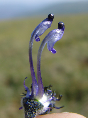
19. July 29, 2009. Blossom with the calyx
removed showing the petals and the stamens
below in the blurry region.
|
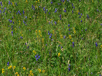
Photos 1 and 13 taken just west of
Twelvemile Summit.
65° 23.7' N, 145° 59.1' W
Elev. 3050 ft.
Photos 2, 6, 7 and 12 taken on Mastodon
Creek opposite Forty-two Gulch.
65° 26.9' N, 145° 19.0' W
Elev. 2800 ft.
Photos 3-5 and 9-10 taken on a mountain top
2 miles southeast of Portage Summit.
65° 24.855' N, 144° 41.192' W
Elev. 2950 ft.
Photo 8 taken on Eagle Summit
at the Pinnell trailhead road.
65° 29.03' N, 145° 24.52' W
Elev. 3600 ft.
|
Photo 11 taken 4 miles southeast
of Portage Summit.
65° 24.34' N, 144° 36.74' W
Elev. 3000 ft.
Photo 14 taken in a ravine west of
Twelvemile Summit.
65° 23.6' N, 145° 58.8' W
Elev. 2950 ft.
Photos 15-19 taken at 0.6 mile
Pinnell Mountain trail.
Latitude: N 65° 29' 1.002"
Longitude: W 145° 25' 41.65"
Altitude: 1170.58 m.
|
|


