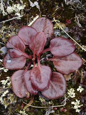
2. Late May. Basal leaves before turning
green with flower stalk in bud.
|
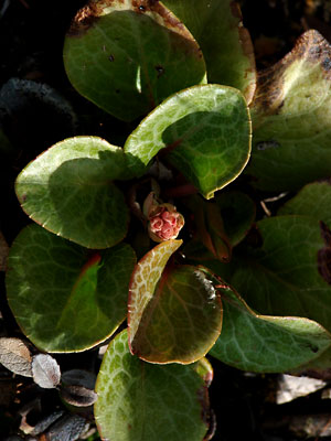
3. Late May. Basal leaves with flower
stalk beginning to emerge.
|
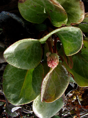
4. Late May. Slightly different view
showing short stem.
|
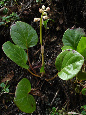
5. Mid June. Basal leaves with elongated
stalk and individual blossoms emerging
from buds. Sepals are longer than the
emerging petals.
|
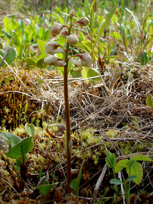
6. Early June. Similar to photo 5, but
emerging petals overshadow the sepals.
Basal leaves somewhat buried in moss.
Note bracts at base of lower pedicels
|
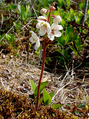
7. Early June. Plant with blossoms
in full bloom.
|
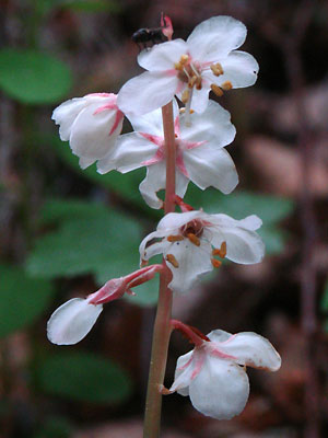
8. Late June. Close-up of upper
flower stalk.
|
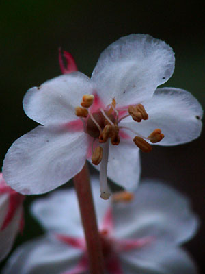
9. Close-up of upper blossom on stalk
in photo 8.
|
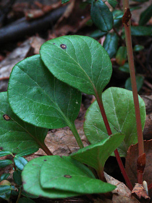
10. Late June. Basal leaves and lower
section of scape. Note bracts on scape.
|
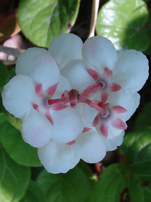
11. June 12, 2009. Top view of
inflorescence.
|
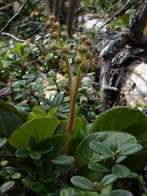
12. Profile view of plant in bud.
|
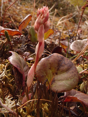
13. June 10, 2013. Emerging flower stalk
with expanding inflorescence.
|
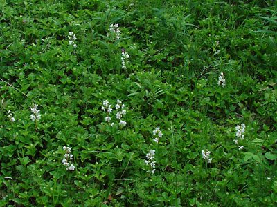
Photo 1 taken along Steese Highway
just west of Central.
Photos 2-4, 6 and 7 taken south of Central
65° 33.84' N, 144° 48.46' W
Elev. 950 ft.
Photos 5 and 8-10 taken along Upper Bottom
Dollar road.
65° 25.2' N, 144° 48.5' W
Elev. 1900 ft.
Photo 11 taken along Harrison creek
between Bottom Dollar creek and
Squaw creek.
Latitude: N 65° 22' 46.42"
Longitude: W 144° 49' 59.718"
Altitude: 441.64 m
Photo 12 taken along the trail
to a thaw lake south of 134 mile
Steese Highway.
65° 35.8' N, 144° 36.738' W
Elev. 900 ft.
|
Photo 13, taken on the hillside
above Berry Camp
(Eagle creek).
Latitude: N 65° 26' 35.661
Longitude: W 145° 25' 45.40
Altitude: 946.14 m
|
|

