
Home Page
Kingdom
Index Plant
Index Magnoliopsida
Index Fabaceae
Index
7 photos.
"Maydell's oxytrope" , a common species in many of the mountains
of Alaska.
ITIS Taxonomic Serial No. 504086
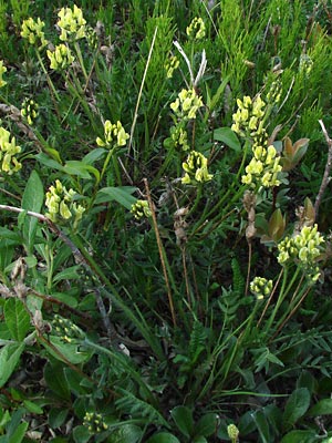 1. June 12, 2007. Plant in full bloom. |
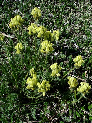 2. July 9, 2006. High angle view of a plant in full bloom. |
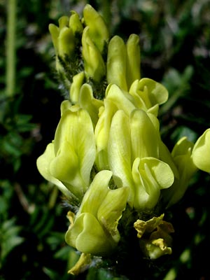 3. July 9, 2006. One of the terminal inflorescences from photo 3. |
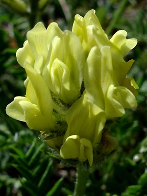 4. July 9, 2006. Another inflorescence from photo 2. |
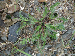 5. June 5, 2009. A sprawling plant in bud. |
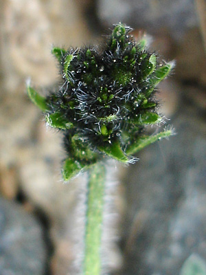 6. June 5, 2009. One of the budding inflorescences in photo 5. |
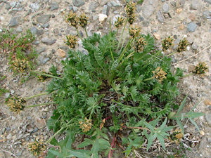 7. July 11, 2009. A plant goiing to seed. |
Photos 1 and 7 taken on Central Photos 2-4 taken above the Pinnell Photos 5 and 6 taken beside the |
|