Home Page
Kingdom
Index Plant
Index Magnoliopsida
Index Fabaceae
Index
Lupinus arcticus ssp. arcticus
S. Watson
22 photos.
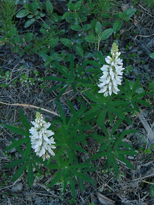
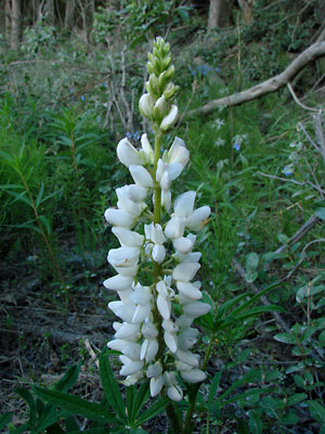
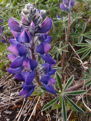
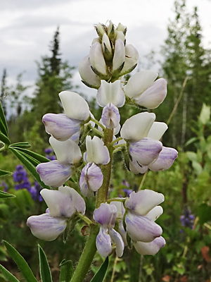
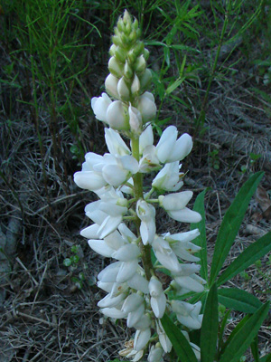
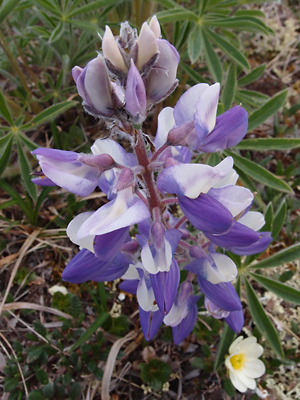
This multi-stemmed species, with flower spikes having blue and white or
blue and purple blossoms and
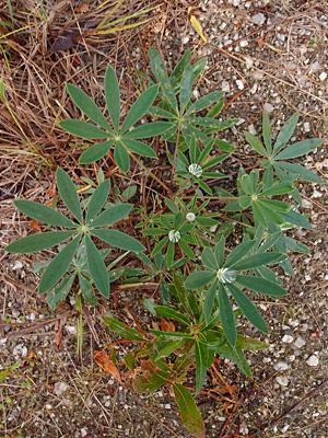
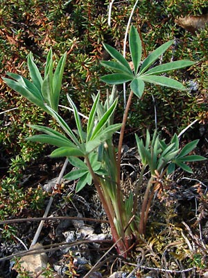
palmate leaves is known as the "Arctic lupine". The species
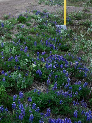
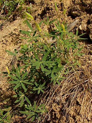
favors roadsides and other barren ground.
ITIS Taxonomic Serial No. 25918

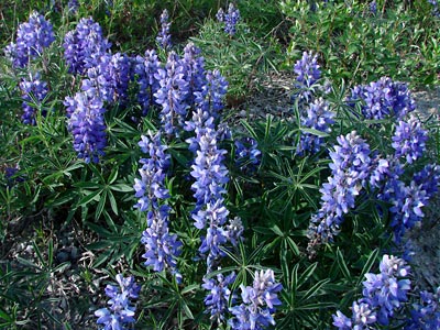
1. Mid-June. A group of roadside plants.
 2. Late May. Sprouting plant. |
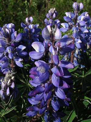 3. Mid-June. Numerous inflorescences aka flower spikes. |
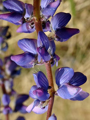 4. Late May. Section of a single spike. |
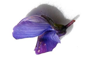 5. Early June. A single blossom. |
 6. Early June. A group of plants at high elevation. |
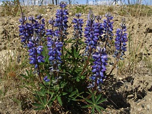 7. Early June. Possibly a single multi-stemmed plant. |
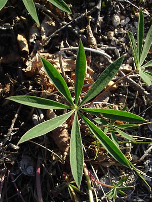 8. Mid-June. A palmate leaf. |
 9. Early July. Plants with seed pods. |
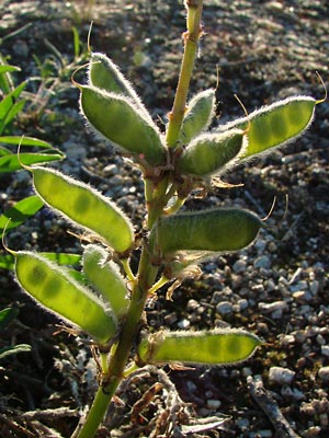 10. Mid-June. Seeded spike. |
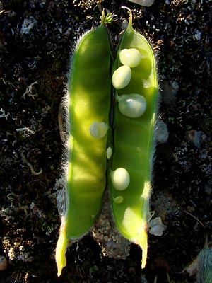 11. A single pod (loment) from the spike in photo 10. |
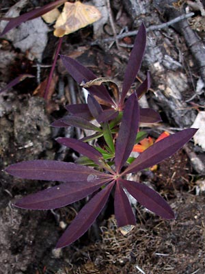 12. Late August. Leaf in fall color. |
|
|
 15. June 7, 2009. Close-up of the inflorescence of one of the plants in photo 13. |
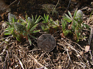 16. May 20, 2009. Young sprouting plants. |
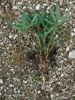 17. June 13, 2009. An entire plant with no blossoms. |
|
|
|
 21. June 9, 2012. Still another color variation. |
|
|
Photos 1 and 3 taken on Central Photos 2, 5, 9 and 17 taken along Upper Photo 4 taken near 5 mile Photo 6 taken going down from Photo 7 taken near 133.6 mile Steese
|
Photos 8, 10-11and 16 taken on the Ketchem Rocks. Photos 12 amd 19 taken near upper Photos 13-15 taken along the Steese Photos 20 and 21 taken 1.5 miles |
| Photo 22 taken south of Central Photo 23 taken near 8 mile Circle
|
||