Home
Page Kingdom
Index Plant
Index Magnoliopsida
Index Ericaceae
Index
Andromeda polifolia var. polifolia L.
12 photos.
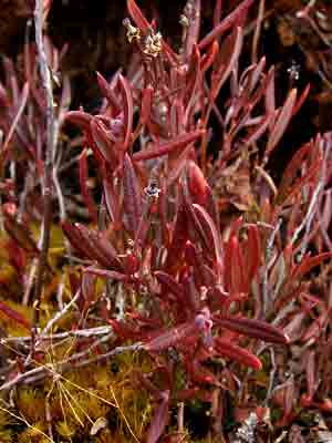
The "bog rosemary" a small shrub found in boggy areas at elevations
in the Central
area of from 900 to 3000 feet.
ITIS Taxonomic Serial No. 182004

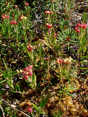
1. Early June. Upper portion of branches in bud.
 2. Early June. Branches in bud. This shrub has a creeping base with ascending branches so this may be one plant. |
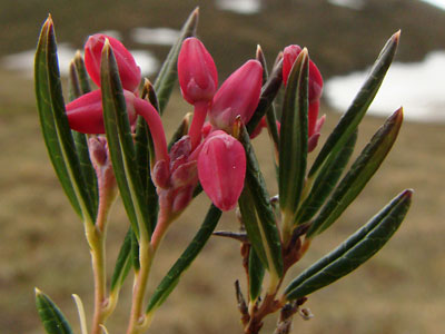
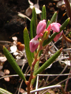
 3. Early June. Branch in bloom. |
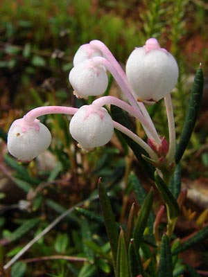 4. Late June. Another blooming branch. |
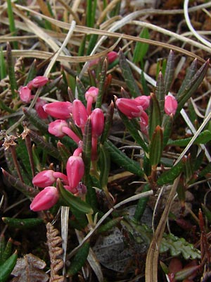
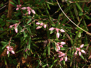
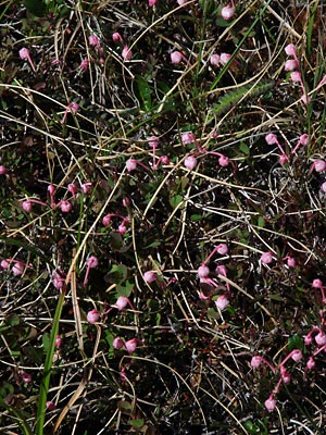 5. Mid-June. A group of blooming branches. |
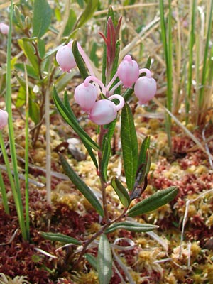
 6. Late June. Capsules beginning to develop. |
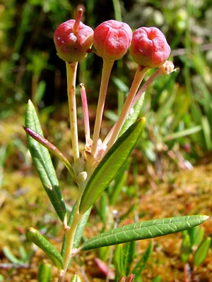 7. Early July. A branch with capsules |
 8. Early July. A group of branches with capsules. Note that the capsule color varies. |
|
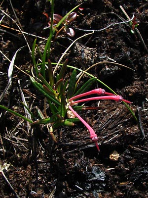
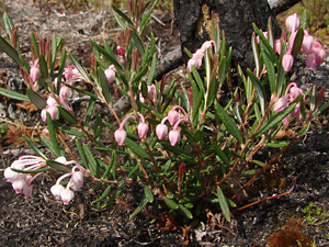 10. May 28, 2009. Profile view of a plant in bud. |
 11. May 28, 2009. Top view of a plant in bud. |
 12. May 28, 2009. Close-up of leaves and buds. |
Photos 1 and 2 taken on Central Photos 3, 7, 8 and 9-12 taken in a Photo 4 taken along Lower Bottom Photo 5 taken on a ridge southeast Photo 6 taken 2 miles SE of Portage |