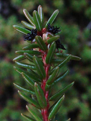
1. Late May. Flowering branch.
|
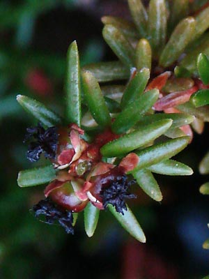
2. Late May. Closeup view of developing
fruit with remains of blossoms
|
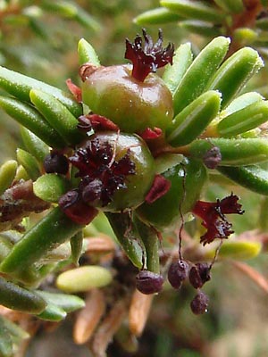
3. Late May. Berries with remains of blossoms.
including stamens.
|
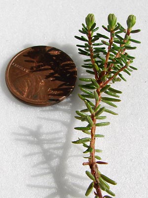
4 . Early June. Branch with 3 non-flower buds.
|
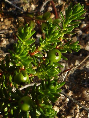
5 . Mid-June. Branches with green berries.
|
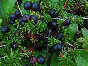
6 . Mid-July. Branches with ripe berries.
|
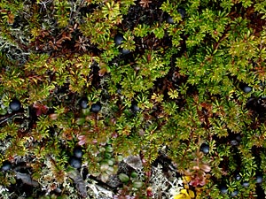
7. A group of fruit bearing branches. |
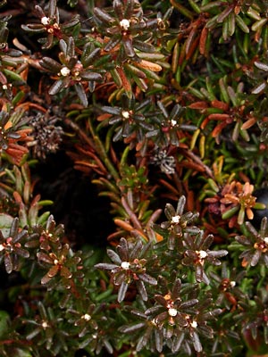
8. Mid-September. Branches with terminal buds.
|
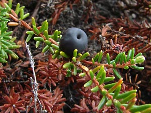
9. Late May. A single berry which has
wintered over.
|
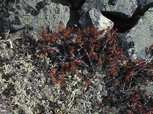
10. April 28, 2009. Plants in early spring
before greenup.
|
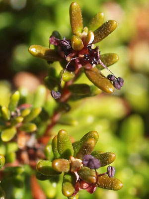
11. May 18, 2010. Flowers in bloom with
stamens present.
|
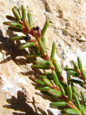
12. May 18, 2010. Flowers just emerging
from bud.
|
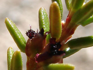
13. May 18, 2010. Close-up of flowers
emerging from bud.
|
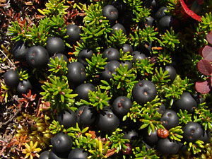
14. August 30, 2011. Another cluster
of berries.
|
Photos 1-4, 9 and 11-13 taken along Upper Bottom
Dollar Road.
65° 25.5' N, 144° 49.4' W
Elev. 2000 ft.
Photo 5 taken on the Ketchem Rocks.
A series of granite tors located
six miles south of Central, Alaska.
65° 29.1' N, 144° 45.2' W
Elev. 1300 ft.
Photo 7 taken on the north side of a
mountain south of Portage Summit.
65° 24.8' N, 144° 45.0' W
Elev. 2900 ft.
|
Photo 6 taken south of Central
65° 33.84' N, 144° 48.46' W
Elev. 950 ft..
Photo 8 taken near 8 mile
Portage Creek Road.
65° 25.76' N, 144° 46.65' W
Elev. 2200 ft.
Photo 10 taken southwest of Eagle
Summit in the gravel pit
above the headwaters of Bates Creek.
65° 27.5' N, 145° 25.9' W
Elev. 3300 ft.
Photo 14 taken on the hillside above
the ravine west of Twelvemile Summit.
65° 23.7' N, 145° 59.1' W
Elev. 3050 ft.
|
|
|


