Home Page
Kingdom
Index Plant
Index Magnoliopsida
Index Cornaceae
Index
12 photos.
The "Canadian dogwood" or "bunchberry" a beautiful
ground cover in the spring
with bright red-orange clusters of berries in the fall.
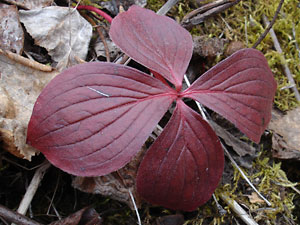
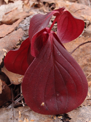
1. Early May. Leaves after a long winter. |
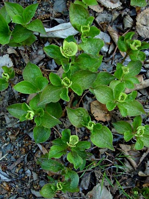 2. Early June. A group of plants in the bud stage. |
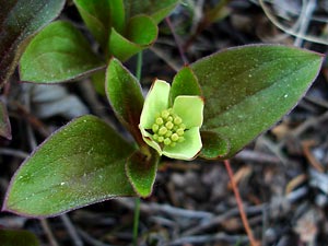 3. Early June. Plant in bud stage. The flowers are in a cluster surrounded by four large bracts. |
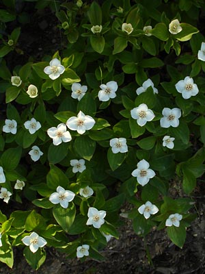 4. Mid-June. A group of plants in various stages from bud to full bloom. |
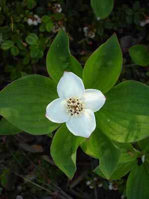 5. A single plant from group in photo 4. |
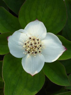 6. Close-up of plant in photo 5. |
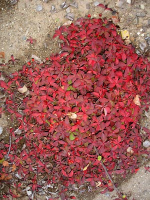 7. Late August. A group of plants in fall color with berries. |
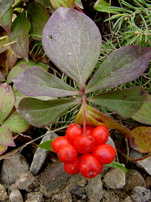 8. September. A plant with a "bunch" of berries. |
|
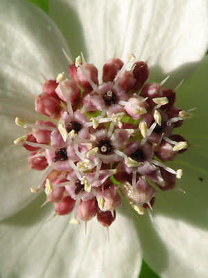 10. June 11, 2009. A blooming flower cluster. |
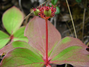 11. July 22, 2009. Profile view of a plant in the early stage of seed development. |
|
Photo 1 taken along Steese Highway Photos 2 and 8 taken near Central Photo 3 taken near 6.5 mile Circle Hot Photos 4-6 taken near 1 mile Ketchem Photo 7 taken near Circle Hot Springs.
|
Photos 9 and 10 taken above Circle Photo 11 taken near the Circle Hot Photo 12 taken at the
|
|