Home Page
Kingdom
Index Plant
Index Magnoliopsida
Index Caryophyllaceae
Index
9 photos.
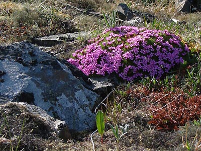
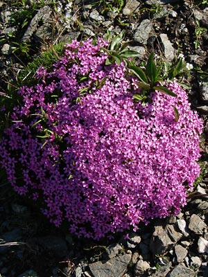
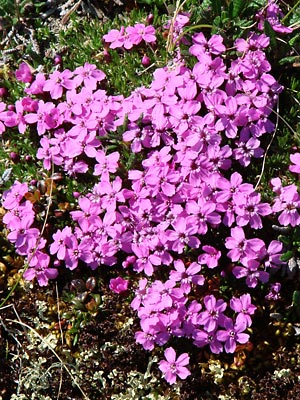
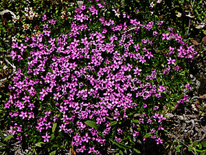
Known as the "moss campion" or "cushion pink", an alpine
species with
cushions often over 1 foot in diameter.
ITIS Taxonomic Serial No. 20041
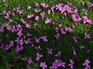
1. Mid-June. A large irregularly shaped cushion.
 2. Mid-June. Another cushion. |
 3. Mid-June. Section of a small cushion. |
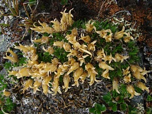
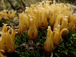
 4. Late June. Sparsely flowered cushion with buds, some distorted blossoms, and last year's capsules. |
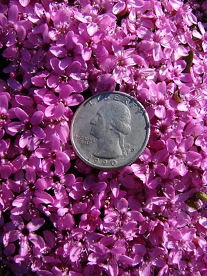 5. Closer view of blossoms in photo 2. |
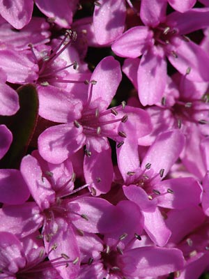 6. Extreme close-up of blossom in photos 2 and 5. |
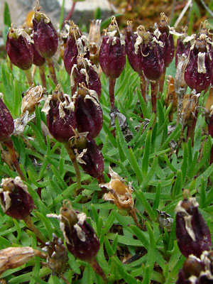
 7. Late June. Seeded cushion with empty capsules. |
 8. Late June. Side view of capsule in photo 7. |
|
 10. June 23, 2016. Another Cushion. |
Photos 1 and 3 taken in saddle between Photos 2, 5 and 6 taken along small road Photo 4 taken at approximately 4.5 mile Photos 7 and 8 taken at approximately Photo 9 taken on Eagle Summit on the |
Photo 10 taken west of a ravine west of
|
|