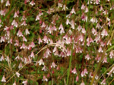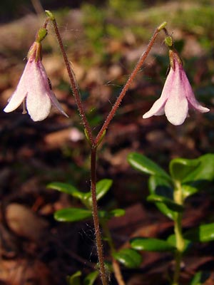
2. Late June Forked shoot with two blossoms.
|
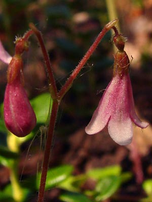
3. Late June. Close-up of a forked
flowering shoot with a bud and
blooming flower.
|
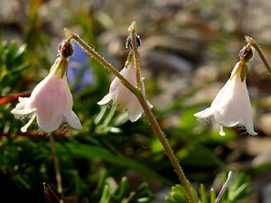
4. Late July. Three hairy blossoms
|
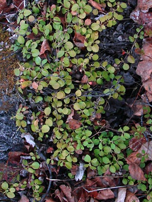
5. Late May. Spring plants prior to
appearance of flowering shoots.
|
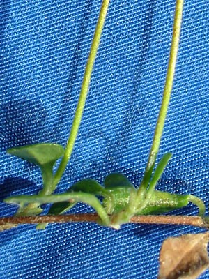
6. Late July. Flowering shoots branching
from creeping stem.
|
Photos 1-3 taken at 9.5 mile Portage
Creek Road.
65° 25.18' N, 144° 48.19' W
Elev. 1900 ft.
Photos 4 and 6 taken at Pinnell
Trailhead on Eagle Summit.
65° 29.085' N, 145° 24.897' W
Elev. 3668 ft.
Photo 5 taken along Upper Bottom
Dollar Creek Road.
65° 25.77' N, 144° 50.19' W
Elev. 2100 ft.
Photos 7-9 and 12-15 taken above Circle
Hot Springs
65° 29.00' N, 144° 38.65' W
Elev. 950 ft.
Photos 9 and 10 taken on the Hillside
north of swamp adjacent to west margin of
the lake south of 144 mile Steese Highway.
65° 35.56' N, 144° 36.99' W
Elev. 950 ft.
|
Photos 7-9 and 12-15 are a series taken on a hillside
above Circle Hot Springs in May and June.
The photos are of a single plant
with brown leaves. The multi-leaved
cluster is unusual. Some leaves are
dropped when the new leaves appear. |
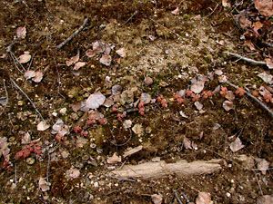
7. May 10, 2009. A single runner.
|
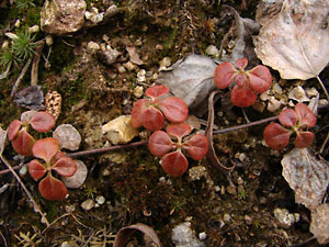
8. May 10, 2009. A short section of the runner
in photo 7. Note the groups of two sets of
2 to 3 pairs of leaves oriented at 90°.
|
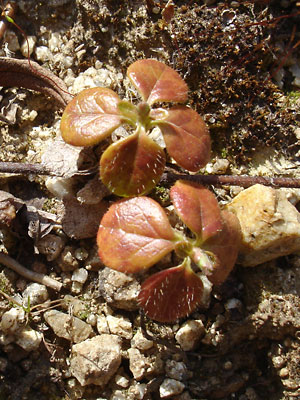
9. May 20, 2009. A pair of six-leaved
clusters. Note the hairs on some of the
leaves.
|
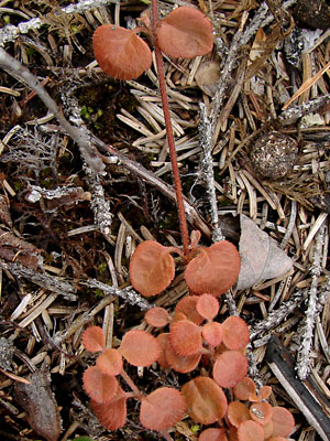
10. May 28, 2009. A section of a runner
with the more common paired leaves.
|
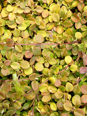
11. May 28, 2009. A matted group of runners.
|
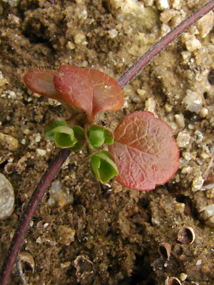
12. May 30, 2009. New growth emerging from
the bud at the junction of the older leaves. Note
some older leaves are missing or pushed
out of the way.
|
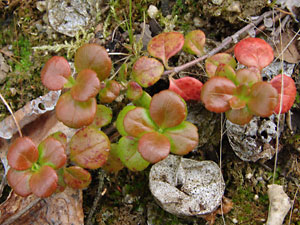
13. June 22, 2009. New growth near the end of
the runner. Still not fully green.
|
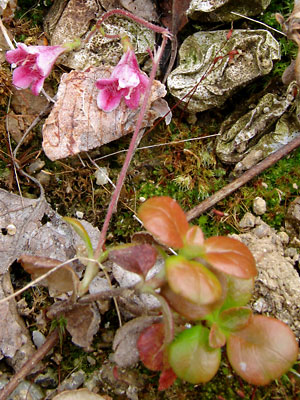
14. June 22, 2009. Flower stalk with the twin
flowers arising from the runner.
|
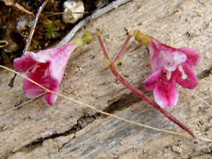
15. June 22, 2009. Close-up of the pair of
blossoms. They are much redder than the
normal blossoms.
|
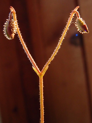
16. August 10, 2012. A pair of blossoms in
Seed.
|
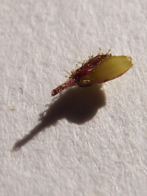
17. August 11, 2012 Close-up of a seed
with a portion of the covering.
|
Photos 16 and 17 taken at 9.5 mile Portage
Creek Road.
65° 25.18' N, 144° 48.19' W
Elev. 1900 ft |
|
|


