Home Page
Kingdom
Index Plant
Index Magnoliopsida
Index Campanulaceae
Index
10 photos.
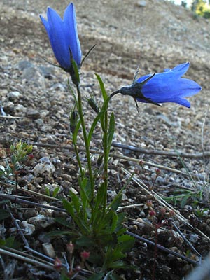
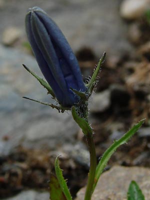
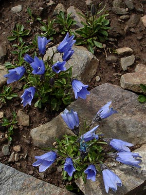
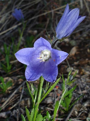
This is the "mountain harebell" which appears in rocky areas in
June.
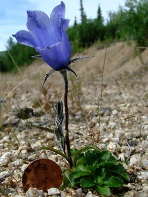
 1. Late June. Two blooming plants. |
|
 3. Mid-June. View of blossom from front showing stamens and three-lobed stigma. Small red spider on right of corolla. |
|
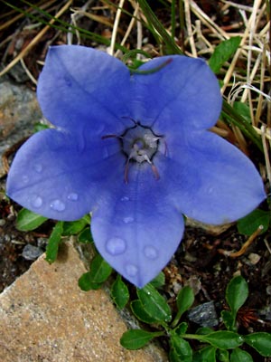 5 . Late June. Front view of blossom. |
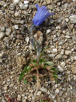
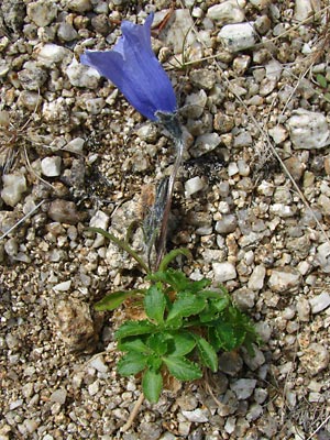
 6. Late June. Single plant with multiple basal rosettes one of which has produced a flowering stem. Note buds on side branches arising from axils of stem leaves. |
 7. June 30, 2008. Plant from photo 7 removed from soil showing root structure. |
 8. June 30, 2008. Another view. |
|
|
Photo 1 taken 2 miles Photos 2 and 3 taken on the Ketchem Rocks. Photos 4 and 5 taken 4 miles Photos 6-10 taken at 9.5 mile Portage |
|