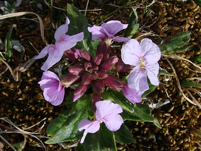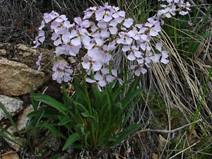
2. Late May. Cluster of plants.
|
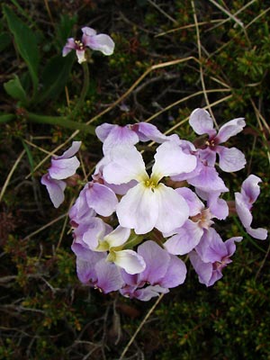
3. Early June. Top view of single terminal
cluster.
|
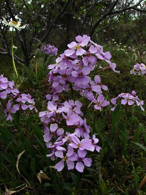
4. Early June. Top view of several clusters.
Anemone narcissiflora in background
|
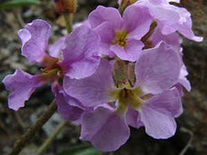
5. Early June. Close-up of terminal cluster.
|
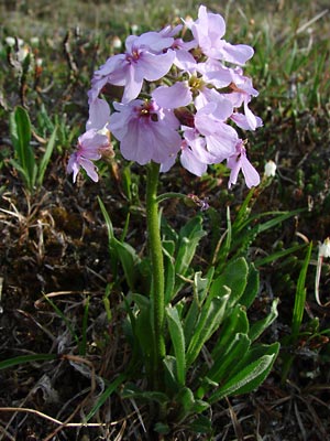
6. Late June. Side view of plant.
Something has eaten the leaves.
Good view of pubescence and flower
pedicels
|
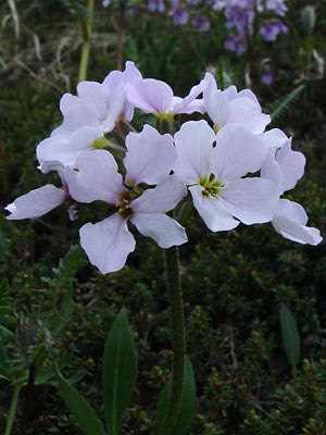
7. Early June. Side view of a
white terminal cluster.
|
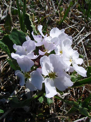
8. Mid June. Top view of a cluster.
|
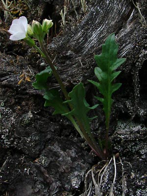
9. Late May. Plant in bud with one
blossom. Note the deeply cleft leaves.
|
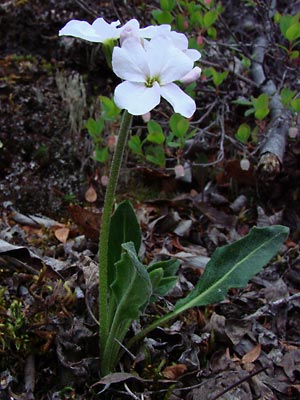
10. Late May. another plant from
the same area with leaves less cleft.
Highly pubescent leaves and stem.
|
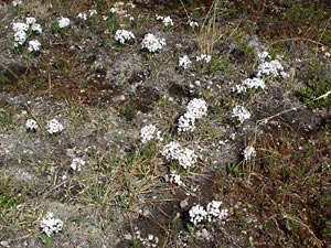
11. Late May. Numerous plants in an
area below a snowfield.
|
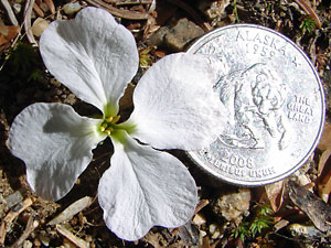
12. June 17, 2009. Close-up of a single
blossom.
|
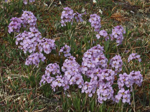
13 June 9, 2010. A cluster of purple-flowered
plants.
|
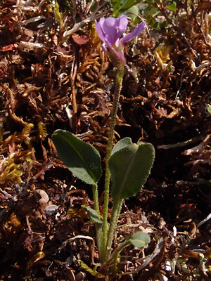
14. Another hairy young plant just beyond.
the bud stage
|
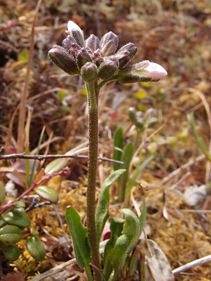
15. June 10, 2012. A young plant in bud.
|
Photos 1, 3, 4, 5, 7 and 11 taken on
Eagle Summit.
65° 30.1' N, 145° 22.7' W
Elev. 3600 ft.
Photos 2, 9, 10 and 12 taken beside
Upper Bottom Dollar Creek Road.
65° 25.4' N, 144° 49.4' W
Elev. 2000 ft.
Photo 6 taken along the Pinnell Mountain
Trail between mileposts 2 and 3.
Photo 8 taken in saddle between Baker
Gulch and the Left Fork of Mastodon Fork
of Eagle Creek.
65° 27.400' N, 145° 20.871' W
Elev. 3950 ft.
Photo 14 taken southwest of the mountain
listed by USGS as Eagle Summit.
Latitude: N 65° 28' 45.3"
Longitude: W 145° 24' 6.3"
Altitude: 1092 m
|
Photo 15 taken on the hillside above
Eagle creek (Berry Camp).
Latitude: N 65° 26' 38.223
Longitude: W 145° 25' 40.84
Altitude: 928.50 m.
|
|
|


