Home Page
Kingdom
Index Plant
Index Magnoliopsida
Index Brassicaceae
Index
11 photos.
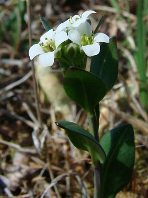
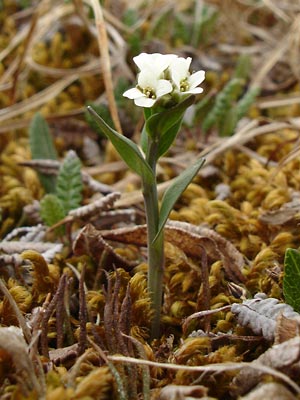
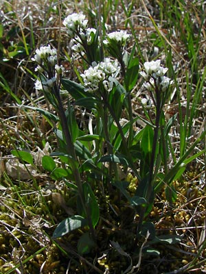
"Edwards' mock wallflower", an alpine species, single- and multi-stemmed
plants occur.
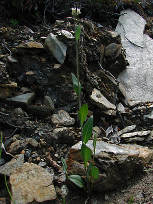
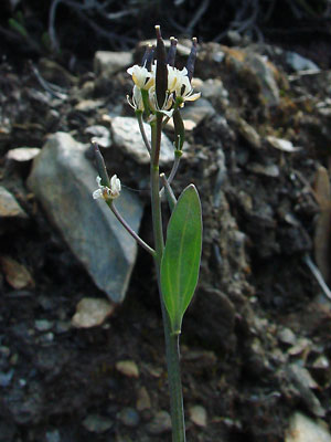
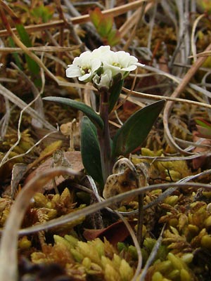 1. Early June. Single-stemmed plant just emerging from the moss. |
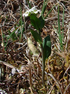 2. Mid-June. Another with elongated stem. |
 3. Closer view from different angle. |
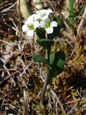
 4. Still Closer. |
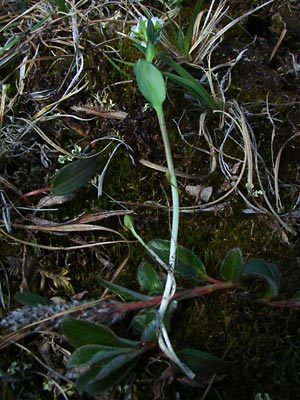 5. Mid June. Plant broken off below ground. Note small long-petioled basal leaf. |
 6. Another plant in moss. |
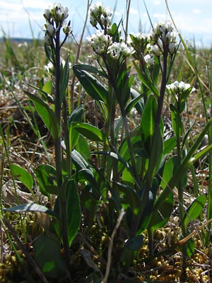 7. Mid June. Multi-stemmed plant |
 8. Slightly different view. |
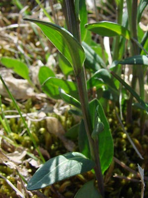 9. Close-up of stem leaves. |
|
 11. June 12, 2009. Closer view of the upper portion of the plant in photo 10. |
Photo 1 taken on Eagle Summit. Photos 2-5 taken in the saddle between Miller Photo 6 taken in the Eagle Summit area. Photos 7-9 taken on a ridge southeast Photos 10 and 11taken on the hillside above
|