Home Page
Kingdom
Index Plant
Index Magnoliopsida
Index Asteraceae
Index
Tephroseris yukonensis (A.E. Porsild) Holub
13 photos.
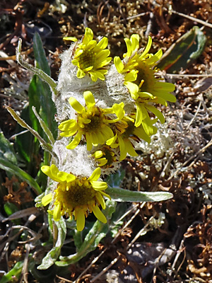
The "Yukon groundsel" is a hairy species found at higher elevations.
ITIS Taxonomic Serial No. 565563
1. Late June. Typical multi-blossomed plant in bloom.
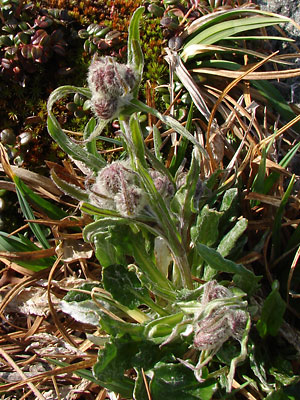
 2. Mid June. A pair of budding plants. |
 3. Profile view of plants in photo 2. |
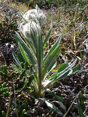
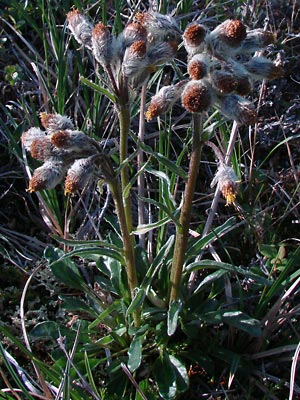
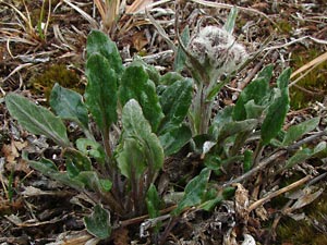 4. Early June. Plant in bud with many broad basal leaves. Additional plants with only leaves |
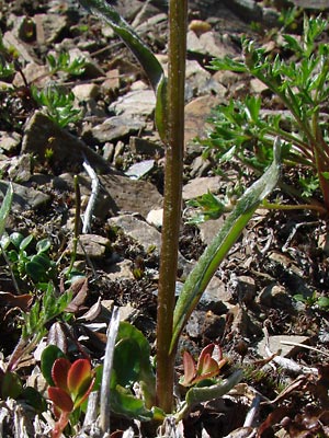 5. Mid-June Lower part of a plant. |
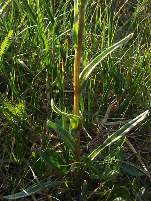 6. Late June. Lower part of another plant. |
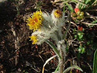
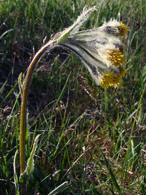
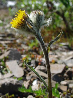 7. Mid-June. Blossom and a bud which has just begun to open. |
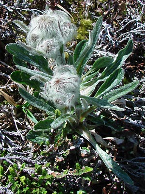
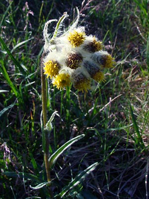 8 . Late June. Front view of a terminal aggregate. |
 9. Side view of 8. |
 10. Late June. Bloomed out plant. |
|
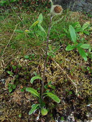 12. July 29, 2009. A plant in seed. |
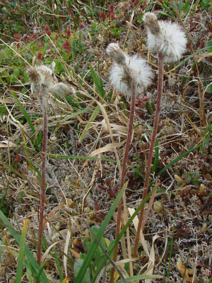 13. July 29, 2009. Three plants in seed. |
 14. June 23,2016. Top view of a plant with multiple blossoms. |
Photo 1 taken along the Pinnell Photos 2, 3, 5 and 7 taken on Photos 4, 6, 8-10 and 14 taken on Eagle Summit Photo 11 taken at 26 mile Pinnell
|
Photos 12 and 13 taken on the
|