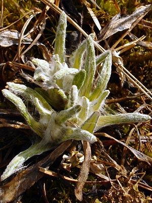
2. Mid-May Young basal leaves.
amid previous year's leaf remains.
|
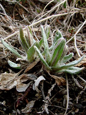
3. Early June. Basal leaves. Note
prominent mid-vein and the remains of
leaves from previous year.
|
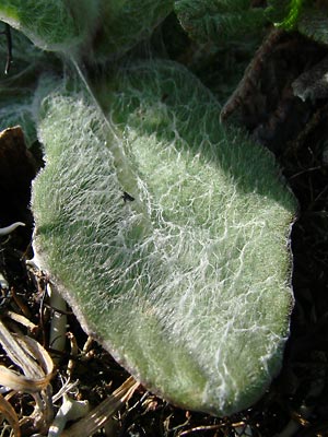
4. Mid-June. Basal leaf with aracnoid-
tomentose (cobwebby) hairs. The other
hair type on the leaf is described as
villous(not interwoven)-tomentose
|
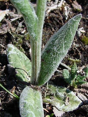
5. Mid-June. Base of plant.
|
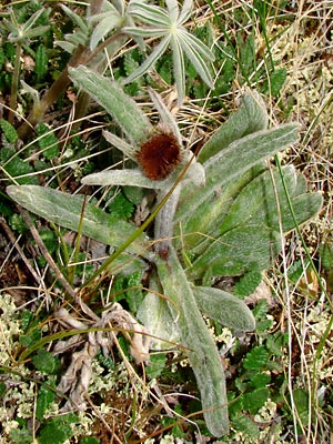
6 . Late June. Plant with bud in very
early stage. Retarded development
considering this was taken on the solstice.
|
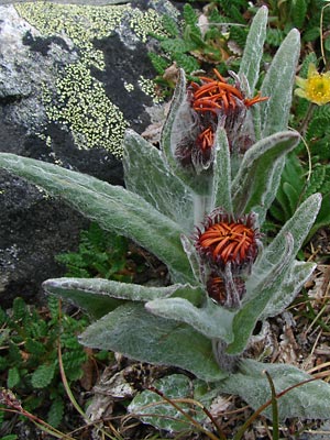
7. Late June. A pair of plants on which the
buds have just begun to open. Note the dark
red-purple bracts
|
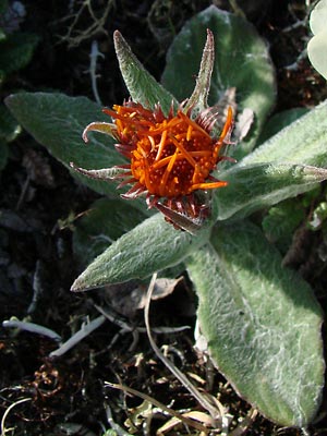
8. Mid-June. Another terminal cluster.
The orange ligules have begun to extend
and the stem has begun to elongate.
|
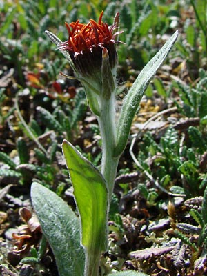
9. Mid-June. Profile view of a single-
blossomed plant at the same stage
as the plant in 8.
|
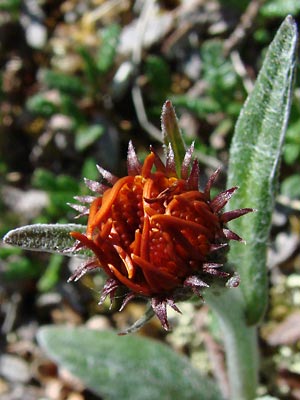
10. Close-up of the blossom in 9. Again
note the dark red-purple bracts.
|
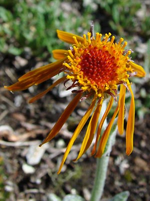
11. Mid-June. Ligules have turned yellow
and the outer disc flowers have begun
to produce pollen.
|
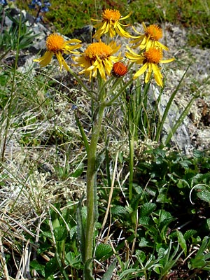
12. Late June. A plant with six blossoms.
The blossom at the end of the main stem
is farthest along, while the blossom which
has emerged from the lowest position on
the stem still has red ligules.
|
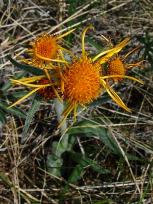
13. Again a plant with multiple blossoms
with the least developed blossoms being
lower on the plant.
|
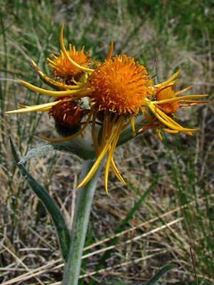
14. A different view of the plant
in 13.
|
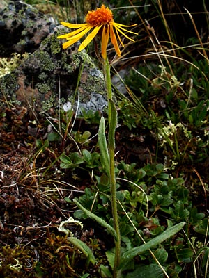
15. Late June. A plant with a single blossom.
|
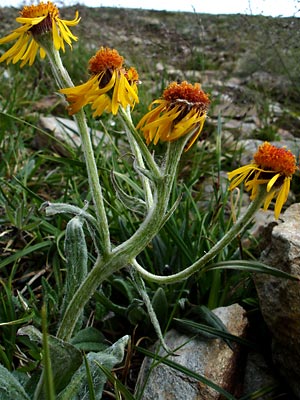
16. Late June. Another multi-blossomed
plant found next to the plant in 15.
Note that the blossoms which are not
terminal on the main stem are on much
sturdier stalks than similar blossoms in 12.
|
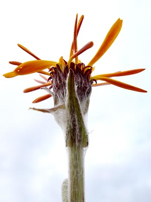
17. Late June. View of blossom from below
to show the bracts.
|
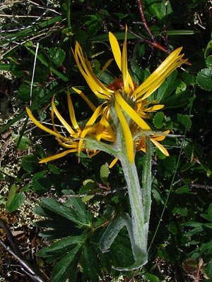
18. Late June. Another multi-blossomed
plant. Blossoms have green bracts.
|
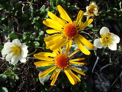
Photos 1, 4, 5, and 8-11taken on a
ridgeline east of Eagle Summit.
65° 29.4' N, 145° 23.3' W
Elev. 3800 ft.
Photos 2 and 3 taken on Eagle Summit
at the Pinnell Trailhead.
65° 29.085' N, 145° 24.987' W
Elev. 3650 ft.
Photos 6, 13,14 and 18 taken 4 miles
southeast of Portage Summit.
65° 24.394' N, 144° 37.192' W
Elev. 2700 ft.
Photo 7 taken along the Pinnell
Mountain Trail between mileposts 3 and 4.
65° 30' N 145° 29' W
Elev. 4000 ft.
|
Photos 12, 15 and 16 taken 2 miles
southeast of Portage Summit.
65° 24.852' N, 144° 41.189' W
Elev. 2950 ft.
Photo 17 taken on Eagle Summit.
65° 29.3' N, 145° 23.5' W
Elev. 3850 ft.
|
|
|

