 |
 |
 |
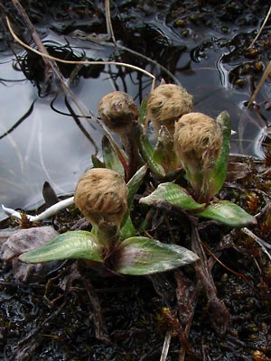
2. May 30, 2007. A cluster of plants in the
early bud stage. Note the large basal leaves.
. |
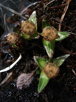
3. May 30, 2007. Top view of the plants
in photo 2.
|
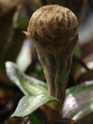
4. May 30, 2007. Close-up of one of the
plants in photos 2 and 3.
|
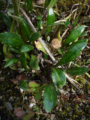
5. June 4, 2007. Young plants on less-wet
ground.
|
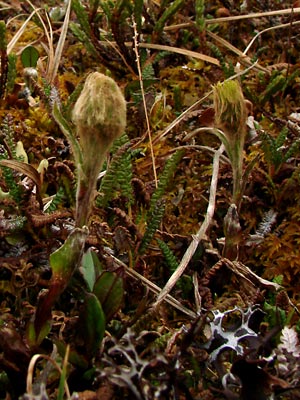
6. June 9, 2008. Two more budding plants.
Right bud is opening.
|
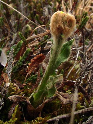
7. June 9, 2008. A bud just beginning
to open. Note that the basal leaves have
dried out.
|
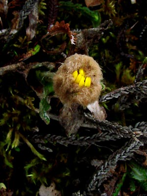
8. June 9, 2008. Top view of the bud
in photo 7.
|
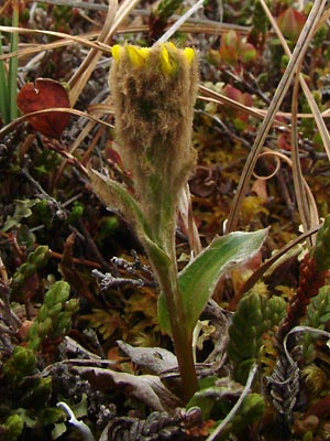
9. June 9, 2008. Another bud, slightly
more open.
|
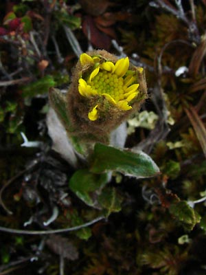
10. June 9, 2008. Top view of bud
in photo 9.
|
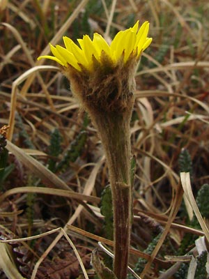
11. June 9, 2008. Another expanding bud.
The ligules are still short.
|
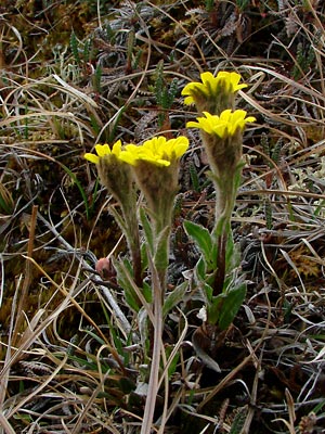
12. June 9, 2008. Four more plants at the same
stage as the plant in 11.
|
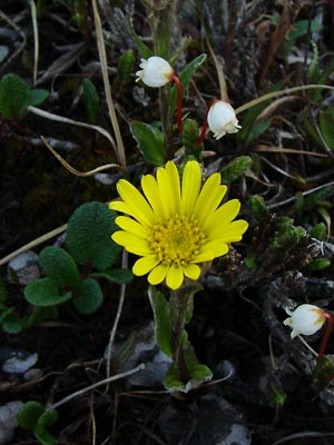
13. June 12, 2007. Almost fully open among
Cassiope tetragona.
|
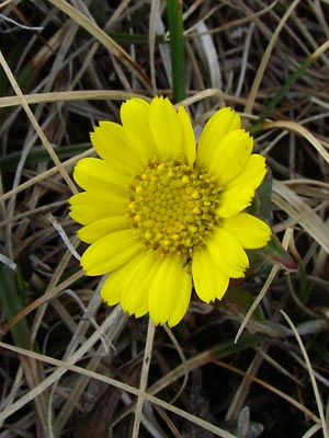
14. June 9, 2008. Fully open with the disc
flowers at the edge of the disc beginning
to open.
|
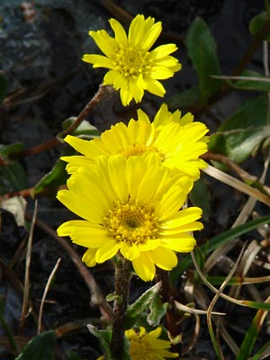
15. June 22, 2008. Disc flowers even farther
along.
|
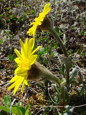
16. June 12, 2007. Side view with disc flowers
almost fully developed.
|
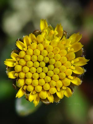
17. June 18, 2009. A blossom with short
ligules and disk flowers still in bud.
|
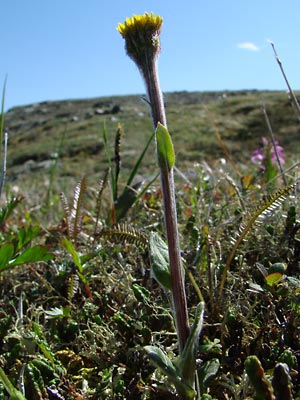
18. June 18, 2009. Profile view of the
plant in photo 17.
|
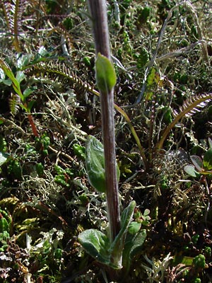
19. June 18, 2009. The base and lower stem
of the plant in photo 17.
|
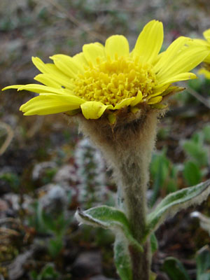
20. June 12, 2007. Close profile view of a
blossom with long ligules showing the
floccose-tomentose involucrum |
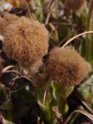
21. May 30, 2012. Plant in bud with bracts
encased in tomentum. |
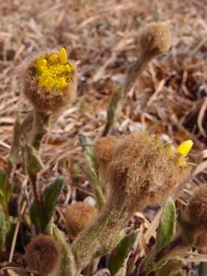
22. May 30, 2012. Disc flowers and
ligules beginning to emerge. |
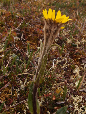
23. June 15, 2012. Profile view of a plant with
long ligules showing that the tomentum is not
confined to the involcral bracts.
|
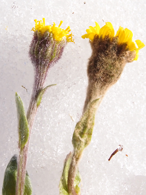
24. June 18, 2013. Tephroseris kjellmanii
on the right. On the left, Tephroseris frigida
perhaps hybridized with kjellmanii.
|
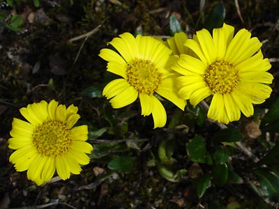
Photos 1and 5 taken on
Twelvemile Summit.
65° 23.8' N, 145° 59.5' W
Elev. 3150 ft.
Photos 2-4 taken in the saddle between
the Left Fork of Mastodon Fork of
Eagle Creek and Baker Gulch.
65° 27.50' N, 145° 21.68' W
Elev. 4000 ft.
Photos 6-12, 14 and 24 taken on the
Central side of Eagle Summit.
65° 30.0' N, 145° 22.6' W
Elev. 3700 ft.
Photos 13, 16 and 20 taken in a wet
hummocky alpine-sedge stand below a
snowbank terrace.
65° 28.3' N, 145° 21.2' W
Elev. 3950 ft.
Photo 15 taken on Eagle Summit
at the Pinnell trailhead.
65° 29.05' N, 145° 24.987' W
Elev. 3650 ft
|
Photos 17-19 taken on a ridge just east
of Eagle Summit.
65° 29.1' N, 145° 23.5' W
Elev. 3900 ft.
photos 21-22 taken south of the mountain
listed by USGS as Eagle Summit.
Latitude: N 65° 28' 42.7"
Longitude: W 145° 23' 37.2"
Altitude: 1159.97 m.
Photo 23 taken near 24 mile on the
Pinnell Mountain trail.
Latitude: N 65° 25' 32.9"
Longitude: W 145° 55' 39.1"
Altitude: 1172.95 m.
|
|
|
| |
|
|
| |
|
|
| |
|
|
| |
|
|

