Home Page
Kingdom
Index Plant
Index Magnoliopsida
Index Asteraceae
Index
12 photos.
An invasive species known as the "narrow-leaved hawk's beard".
ITIS Taxonomic Serial No. 37212
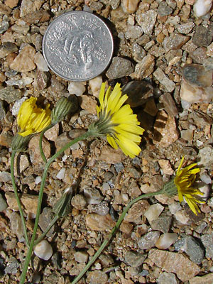
1. June 25, 2009. Close-up of several blossoms.
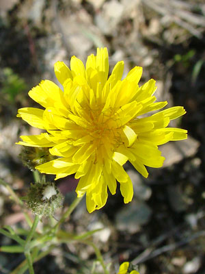 2. June 25, 2009. Close-up of a flower head. |
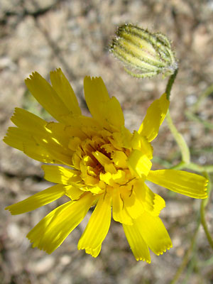 3. June 25, 2009. Another flower head. |
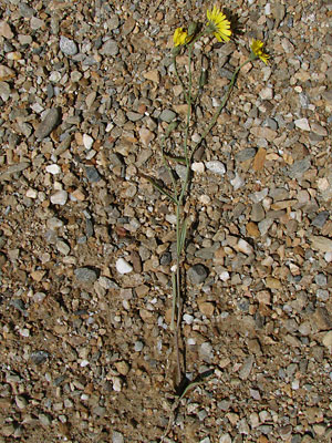
 4. June 25, 2009. Top view of a plant. |
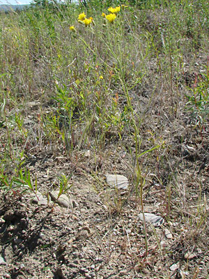 5. June 25, 2009. Plant in habitat. In this case reclaimed mining ground. |
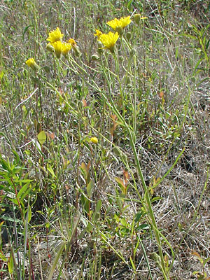 6. June 25, 2009. Closer view of the plant in photo 5. |
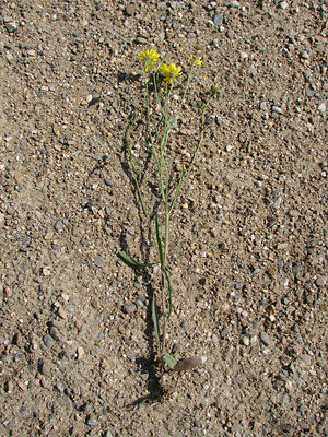 7. June 25, 2009. Same plant removed from soil. |
|
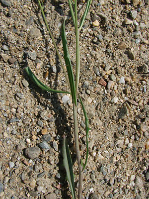
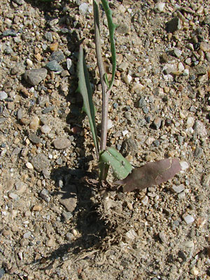 9. June 25, 2009. Close-up of the root and basal leaves. |
 10. June 25, 2009. Another plant removed from the soil. |
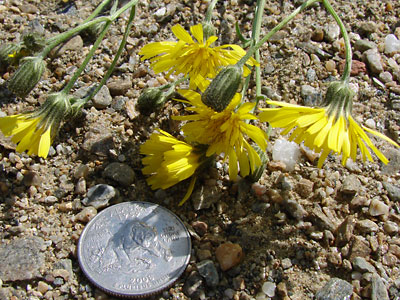
 11. June 25, 2009. Blossoms of the plant in photo 10. |
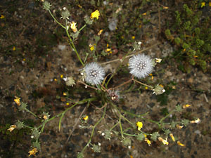 12. July 3, 2010. Plant going to seed. |
Photos 1-11 taken along a mining road Photo 12 taken along the Dalton highway
|