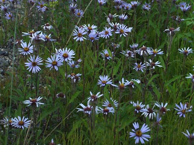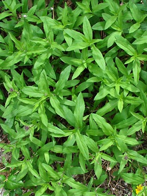
2. Late June. A group of plants with buds opening.
|
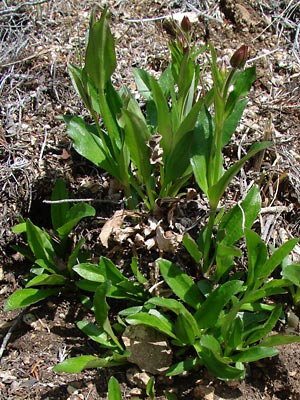
3. Early June. Budding plants.
|
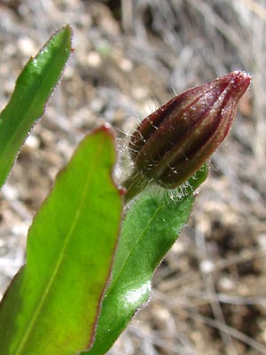
4. Close-up of a bud in 3.
|
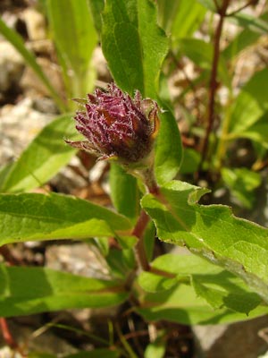
5. Late June. A bud with only the disk
flowers present.
|
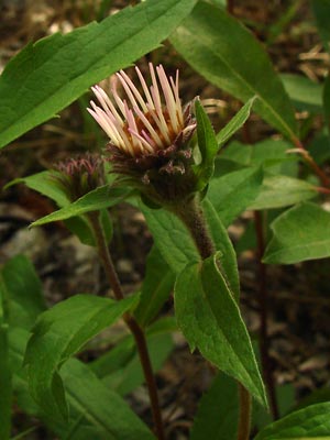
6. Late June. A bud with ray flowers
|
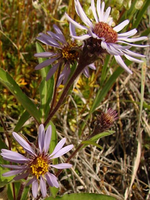
7. Late June. A pair of purple blossoms. |
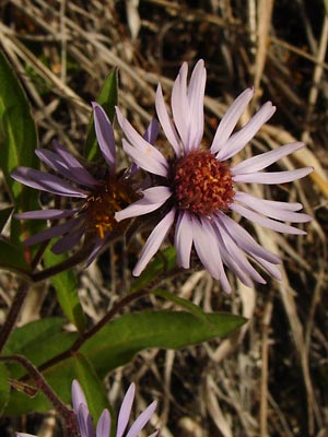
8. Close-up of blossom in 7.
|
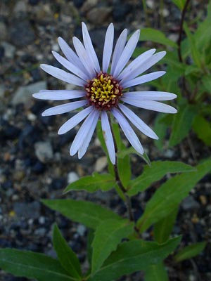
9. Late June. A blue blossom.
|
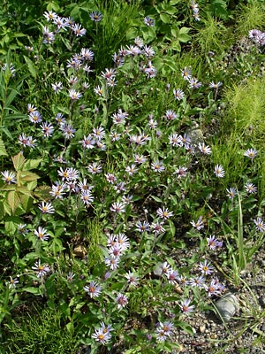
10. Late June. A group of plants along
the Steese highway
Note that the disk flowers vary.
|
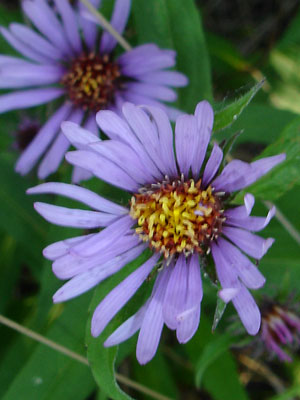
11. July 2, 2009. Close-up of a purple blossom.
|
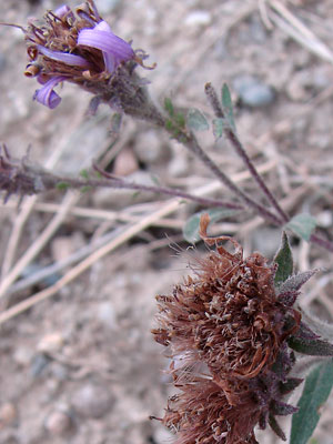
12. July 22, 2009. Blossoms which have
gone to seed.
|
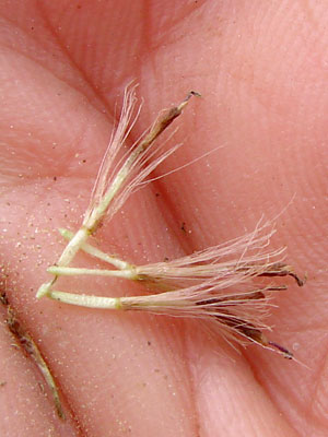
13. July 22, 2009. A few seeds from the
blossoms in photo 12.
|
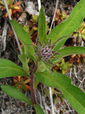
14. June 2, 2011. A plant in early bud
stage.
|
Photos 1, 9 and 10 were taken
along the Steese highway between
Quartz creek and Jumpoff creek.
65° 37.686' N 144° 27.412' W
Elev. 750 ft.
Photos 2-8 were taken
on Upper Bottom Dollar road
65° 26.6' N 144° 50.0' W
Elev. 2000 ft.
Photo 11 taken along the pipeline service
road, 7 miles southwest of
Coldfoot, Alaska.
67° 10.48' N, 150° 19.91' W
Elev. 950 ft.
Photos 12 and 13 taken at 8.5 mile
Circle Hot Springs road.
65° 29.11' N, 144° 38.24' W
Elev. 850 ft.
Photo 14 taken along Upper Bottom
Dollar road.
Latitude: N 65° 25' 18.1818"
Longitude: W 144° 48' 41.47"
Altitude: 577.41 m.
|
|

