Home Page
Kingdom
Index Plant
Index Magnoliopsida
Index Asteraceae
Index
10 photos.
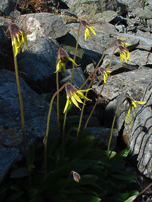
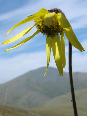
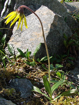
The "nodding Arnica" or "Lessing's Arnica" favors rocky
windswept areas.
ITIS Taxonomic Serial No. 36567

 1. July 9, 2006. Possibly a plant with two stems. |
 2. July 9, 2006. A single nodding blossom. |
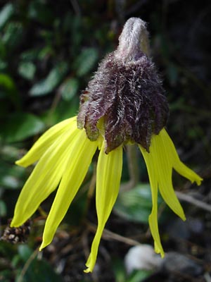
 3. July 9, 2006. A single nodding blossom. note long white hairs just inside the ray flowers. |
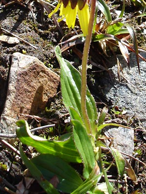 4. July 9, 2006. View from above of basal leaves. |
 5. July 9, 2006. Close-up view looking down at the upper stem and the involucral bracts of the plant in photo 4. |
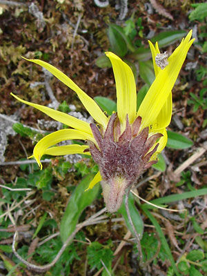
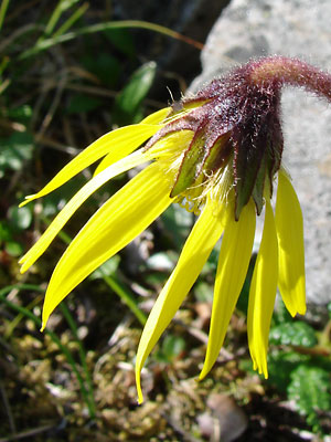 6. July 29, 2009. A single nodding blossom photographed from above. Note the long white hairs between the bracts and the ray flowers. Compare with photo 3 |
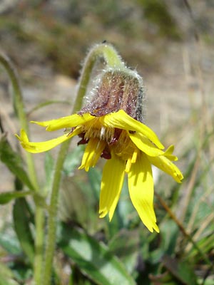
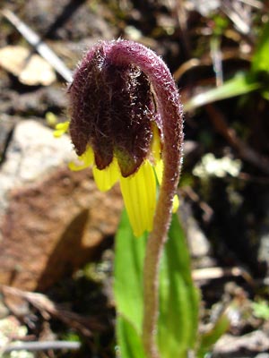
 7. July 29, 2009. A single nodding blossom photographed from below. |
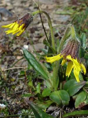
 8. July 29, 2009. A single nodding plant with a good view of the basal leaves. |
|
 10. July 11, 2009. Top view showing the hairy involucral bracts. |
Photos 1-5 taken taken on Eagle Summit near Photo 6 taken on the Central Photos 7-10 taken on the mountain |
|