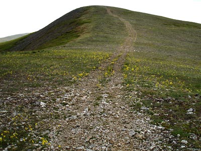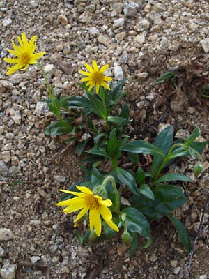
2. Cluster of plants.
|
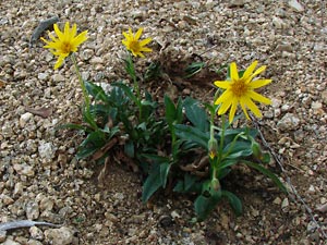
3. Another view of the cluster.
Photos 2-5 were taken in early June, six miles
south of the town of Central on a
group of granite tors known as the Ketchem
rocks at an elevation of 1300 ft. Note that
the tips of the sepals are brown.
|
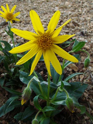
4. Front view of blossom.
|
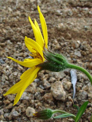
5. Side view of blossom.
|
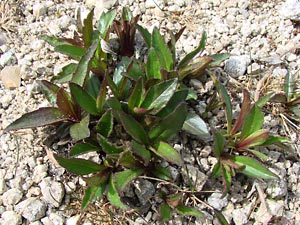
6. Cluster of plants.
Photos 6 through 9 were taken in early June on
Portage summit (elev. 2600 ft). On this
plant the sepals are reddish brown except at the
base. Some of the plants have multiple
buds.
|
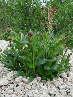
7. Another cluster.
|
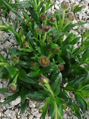
8. Closer view of the cluster in 7.
|
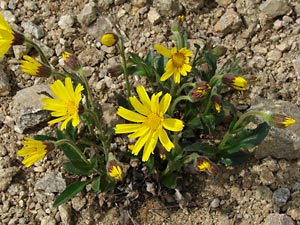
9. A blooming cluster. This cluster consists
of plants with single blossoms.
|
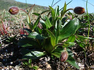
10 Plants with buds about to open.
Photos 10-17 were taken in mid-June at an
elevation of 2700 ft, approximately 2 miles
northeast of Portage summit. All but the bases
of the sepals were colored reddish brown or red.
|
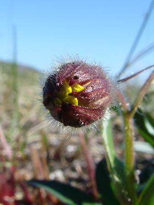
11. Close-up of opening bud.
|
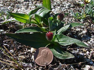
12. A plant in bud. |
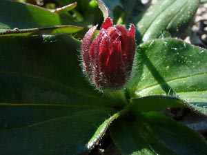
13. Close-up of the bud. |
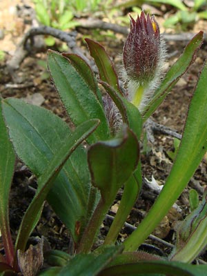
14. Another bud opening.
|
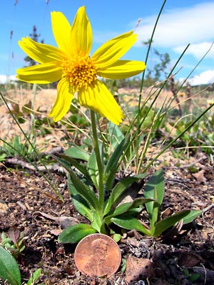
15. Front view of a blooming plant.
|
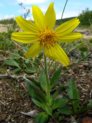
16. Same but underexposed to hold the color.
|
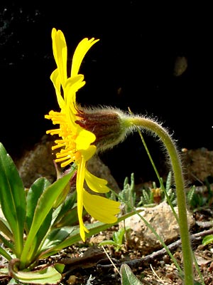
17. Side view of the blossom in 15 and 16.
|
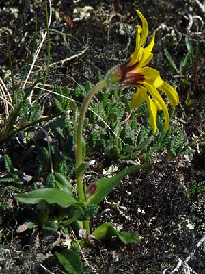
18. Side view of a plant showing a bud
in the leaf axil.
|
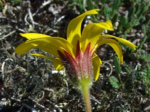
19. Top view of plant in 18.
Photos 18 through 22 of a plant with red
sepals was taken in mid-June, two miles southeast
of Eagle summit at an elevation of 4100 ft.
|
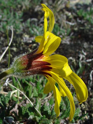
20. Close-up side view of same plant.
|
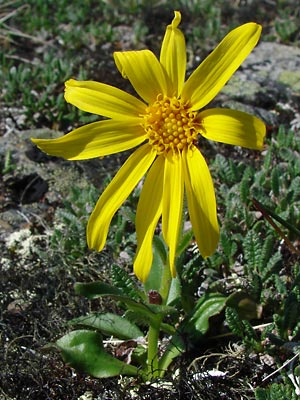
21. Front view of the plant.
|
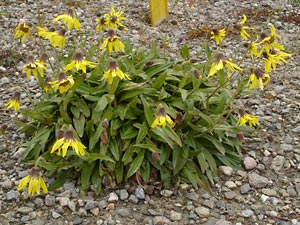
22. Large cluster of plants.
Photos 22 through 24 were taken along the Steese
highway in late August on Eagle summit
at an elevation of 3700 ft. This is very late
in the year for this species to be blooming.
The plants in this cluster are much larger
than the other plants on this page.
Note the plant with multiple blossoms at
the right of the cluster.This may be
a cluster of A. angustifolia with the
broader leaves.
|
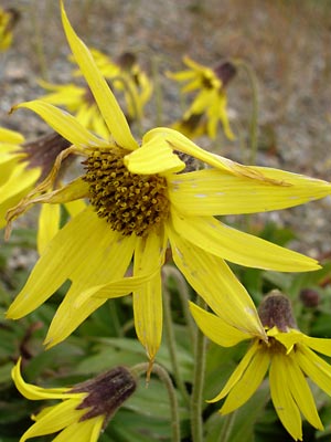
23. Front view of blossom.
|
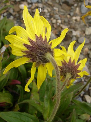
24. View of blossom from behind.
|
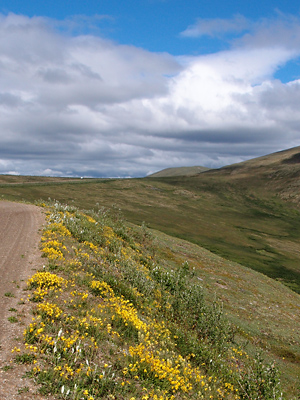
25. Snow arnica line the Steese highway
West of Eagle Summit. |
Photo 25 taken along the Steese
highway on the Fairbanks appproach
to Eagle Summit.
Latitude: N 65° 28' 28.211"
Longitude: W 145° 25' 14.148"
Altitude: 1103.25 m.
|
|
|


