
Home Page
Kingdom
Index Plant
Index Magnoliopsida
Index Scrophulariaceae
Index
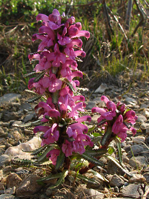
Pedicularis langsdorfii Fisch. ex Steven
18 photos.
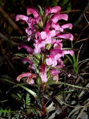
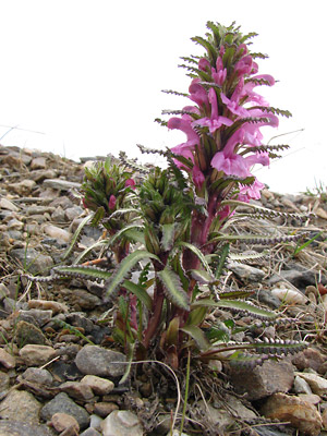
A beautiful red flowered (often multistemmed) , alpine species referred
to as "Langsdorf's lousewort"
or the "Arctic lousewort". Pedicularis langsdorfii
Fisch. ex Steven. has been moved to the
family Orobanchaceae according the
ITIS Standard Report for Taxonomic Serial No. 834152.
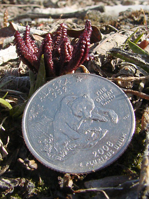 1. May 18, 2009. Sprouting plant. |
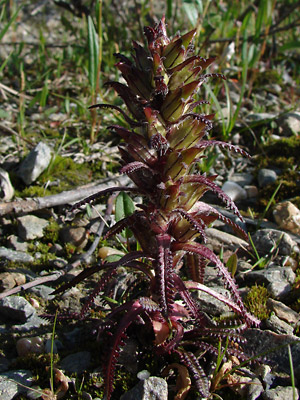
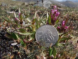
 2. Early June. Two red basal leaves. |
 3. Early June. Green-leaved plant with a few blossoms. |
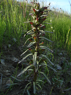
 4. Early June. Close-up of far stem in photo 3. The long bracts on the upper stem are characteristic of P. langsdorfii ssp. arctica |
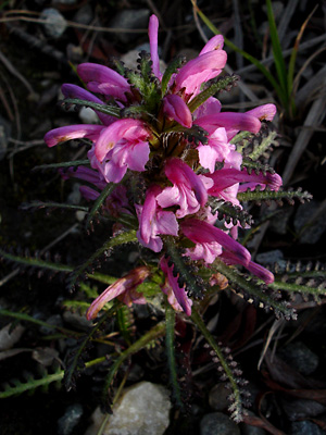
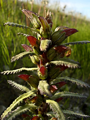
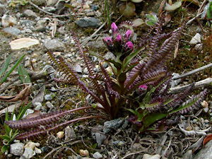 5. Early June. Single-stemmed plant with red leaves and buds. |
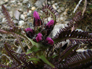 6. Early June. Close-up top view of plant in photo 5. |
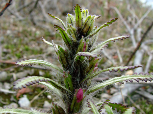
 7. Early June. Red-leaved plant with several flowers in the late-bud stage. |
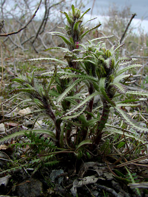
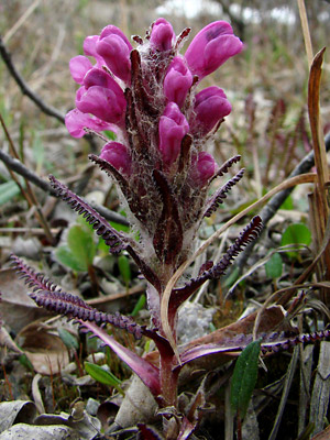
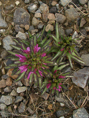
 8. Early June. Cluster of green-leaved stems in full bloom. |
 9. Late June. Flash photo of a green-leaved plant. |
 10. Late June. View from a higher angle of the plant in photo 9 taken without flash. |
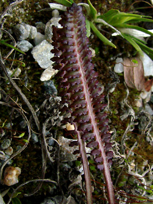
 11. Late June. Red-leaved plant with developing capsules. |
 12. Late July. Green-leaved plant with well developed acuminate capsules. |
 13. Late July. Close-up of tip of the stem of the plant in photo 12. |
 14. June 1, 2009. Three stems one of which has elongated. |
 15. June 1, 2009. Top view of the stems in photo 14. |
 16. June 1, 2009. A young plant just beginning to bloom. |
 17. June 3, 2009. Another multi-stemmed plant with one stem elongated. |
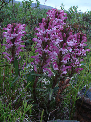
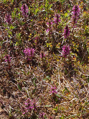 18. June 15, 2012. A group of plants along the boardwalk near the end of the Pinnell Mountain Trail. |
Photos 1-12 taken on the Central Photos 14, 15 and 17 taken on Eagle Summit Photo 16 taken at 25 mile Pinnell
|
Photo 18 taken at approximately 27
|
|