Home
Page Kingdom
Index Plant
Index Magnoliopsida
Index Santalaceae
Index
Geocaulon lividum (Richards.) Fern.
15 photos.
A wonderfully weird little plant at all stages, especially when in fruit.
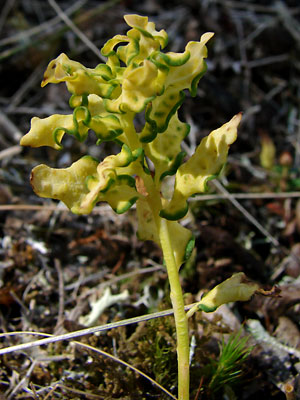
The plant shown in photo 8
is infected with a blister rust which distorts and colors the leaves in
beautiful patterns. It even has
interesting common names if you like "red-fruited bastard toadflax",
"northern commandra", "pumpkin berry",
"dogberry" or "timberberry"
|
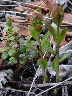
 2. Late May. Flowers are borne in groups of three, the center flower is female and the outer flowers are male. The male flowers do what male flowers do and then drop off. |
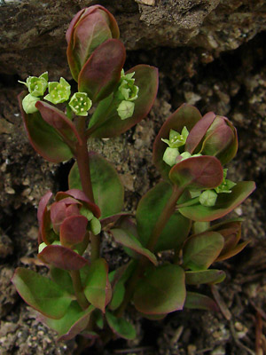 3. Late May. Close-up view of the apetalous flowers and buds in photo 2. |
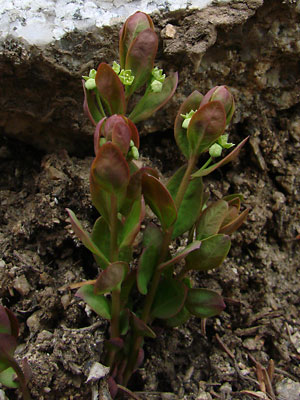
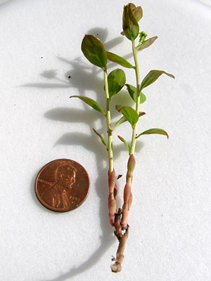 4. Early June. A branched stem. |
 5. Early June. A single three-flower cluster. |
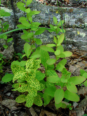 6. Early July. A group of stems, two of which are infected with blister rust which spreads outward from the leaf veins. |
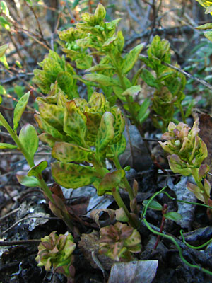 7. Late May. Stems infected with blister rust. The leaves are beginning to distort. Note that the two front stems have failed to elongate. |
|
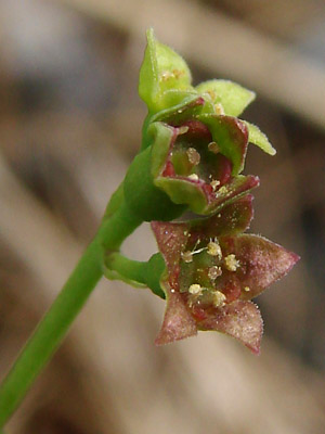
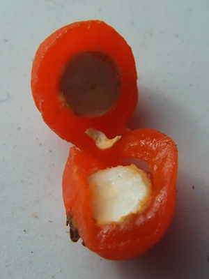
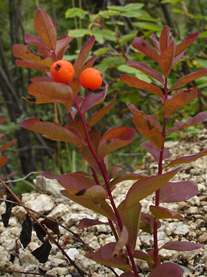 9. Mid-August. Almost ripe berries. The berries are edible. Most people taste one. Just one! |
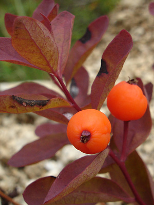 10. Mid-August. Close-up view of the pair of berries in photo 9. |
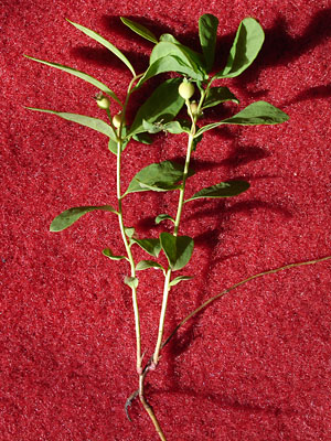
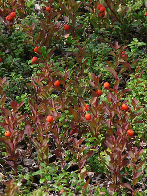 11. Late July. Several stems in fruit. |
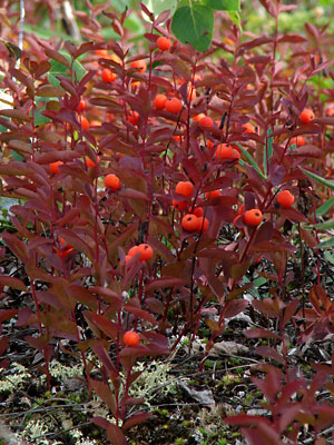 12. Late July. A group of fruiting stems which are only a small portion of a larger group covering several hundred square feet. |
|
|
|
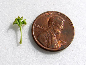
Photos 1, 2, 7 9 and 10 taken along Upper Photos 3 and 6 taken on a hillside Photos 4 , 5, and 13-15 taken at 9.5 mile Photo 8 taken near upper Half Photos 11 and 12 taken near Circle |
||