Home Page
Kingdom
Index Plant
Index Magnoliopsida
Index Rosaceae
Index
Rosa acicularis ssp. sayi (Schwein.) W.H. Lewis
21 photos.
A many-thorned shrub known as the "prickly rose" or "prickly
wild rose"
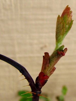 1. Mid May. A stem bud. |
 2. Mid-May Similar to photo 1 but at a later stage. |
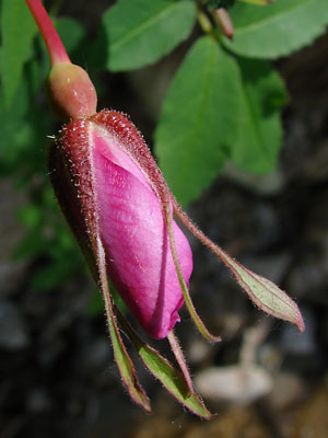
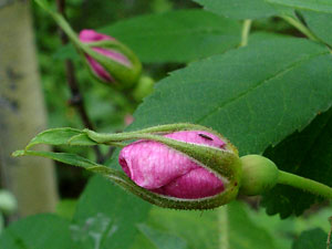 3. Early June. A flower bud with ovary behind sepals. |
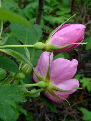 4. Early June. A view of the backs of a bud and a blossom. |
 5. Late June. Close-up of a bud later in the year. Note the red color of the stem, ovary and sepals. Also note the hairs on the sepals. |
 6. Early June. Blossom just after opening. |
 7. Early June. Another blossom, a bit farther along. |
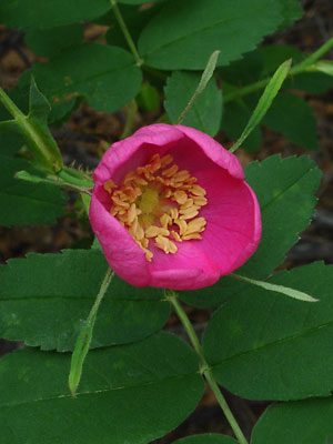
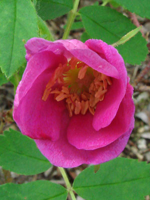 8. Late June. A blossom with pollen on the anthers. Note how the wide petals overlap. |
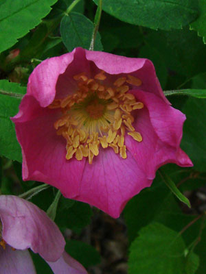
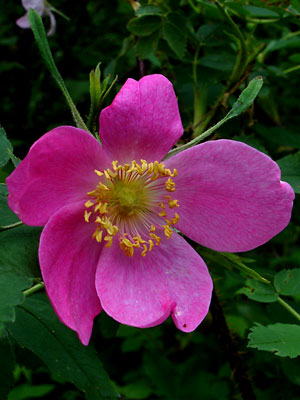 9. Early June. A fully open blossom. The anthers have performed their duty. |
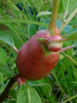
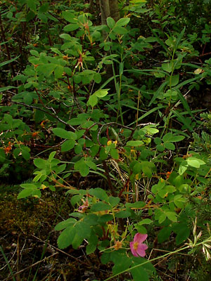 10. Early July. A bush with fading blossoms and developing hips. |
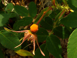
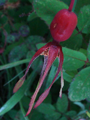 11. A hip with sepals and other remains drying out. |
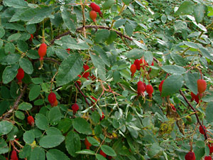 12. A bush with many hips of varying shape. Note the prickles. |
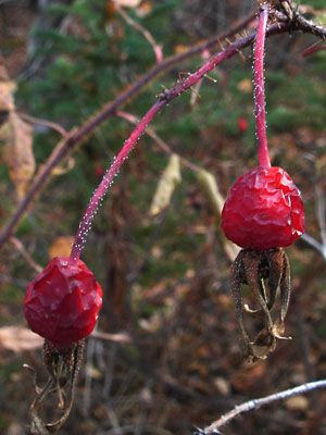 13. Late September. Mature hips after a few frosts. |
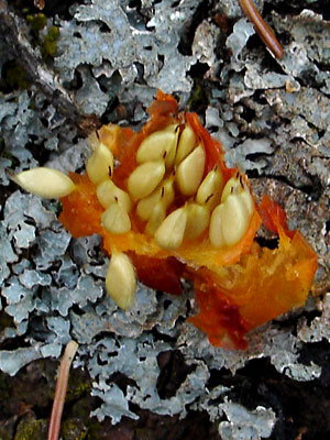 14. Early September. A squashed hip with seeds exposed. |
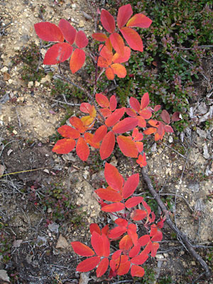 15. Late August. Young plants with leaves in fall color. |
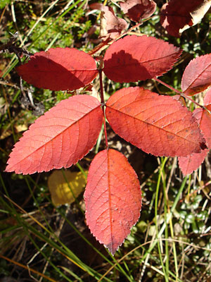 16. Early September. An odd-pinnate leaf with 5 leaflets in fall color. |
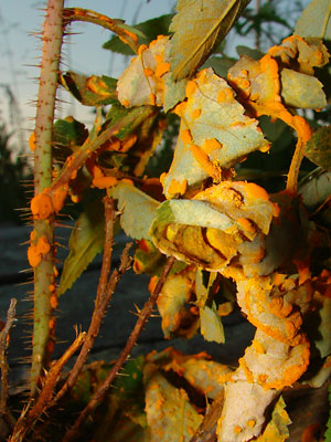
 17. Late June. Rose rust infestation caused by a fungus of the genus Phragmidium. Probably P. mucronatum |
rothe prickles. |
 19. Late June. An insect gall . |
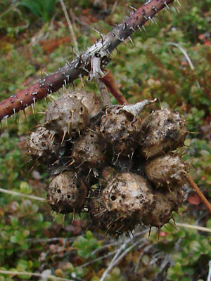
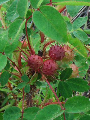 20. Late June. Spiny rose galls caused by a chalcidoid gall wasp of the genus Diplolepis |
 21. Late May. Remains of galls from a previous year. |
|
Photos 1 and 2 taken south of Central Photos 3, 4, 6, 7, 9 and 14 taken Photos 5 and 15 taken along the Photos 8, 10, 11, 17, 18 and 21 Photo 12 taken at 3 mile Portage
|
Photo 14 taken on the Photo 16 taken at 5 mile Photos 19 and 20 taken on the swamp Photo 22 taken by the lake within
|