Home Page
Kingdom
Index Plant
Index Magnoliopsida
Index Rosaceae
Index
Dasiphora fruticosa (L.) Rydb.
Dasiphora floribunda (Pursh) Raf.
Potentilla fruticosa L.
10 photos.
This is a small lowland shrub known as the "tundra rose", "shrubby
cinquefoil" or "bush cinquefoil".
ITIS Taxonomic Serial No. 836659
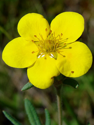
1. Late June. A portion of a bush with buds and blossoms.
|
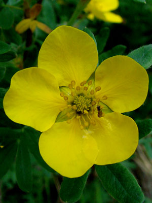 3. Late June. A single blossom at an early stage with a visitor. |
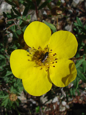 4. Mid-July. A blossom at a later stage with a different visitor. Note the darkened anthers. |
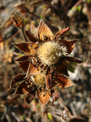
 5. Late June. A bush with blossoms. Some of the blossoms have shed their petals. |
|
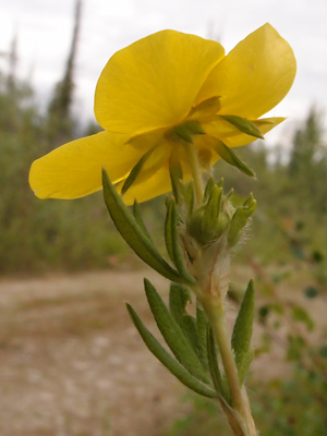
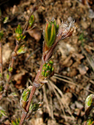 7. May 15, 2009. Branches with buds containing bracteoles and flower buds. |
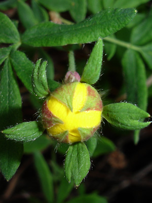 8. July 5, 2009. A flower bud. The leaflike structures on the pedical behind the bud are bracteoles . |
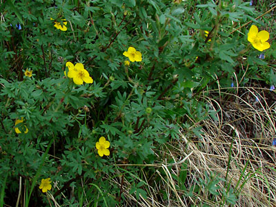
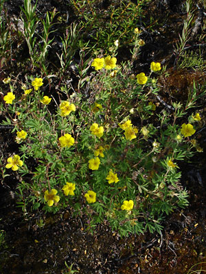
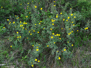 9. June 7, 2009. A group of bushes. |
|
Photos 1, 3, 4, 6 and 7 taken along Upper Bottom Photo 2 taken adjacent to a thaw Photo 5 taken on the swamp
|
Photo 8 taken along Lower Photo 9 taken near 140 mile Photo 10 taken south of Central
|
|