Home
Page Kingdom
Index Plant
Index Magnoliopsida
Index Gentianaceae
Index
15 photos.
A small gentian of the high country known as the "pale gentian",
"glaucus gentian", "inky gentian" or
"smooth alpine gentian"
ITIS Taxonomic Serial No. 29977
1. Late June. The relatively rare yellow color variation which
gave rise to the name
of the species, "glauca" meaning "pale".
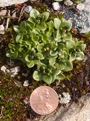
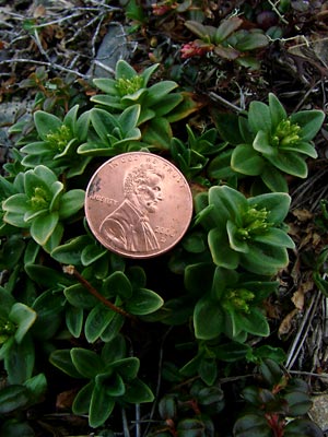
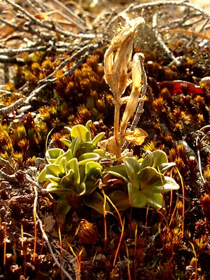 2. Mid-May Last years flower stalks and early leaves. |
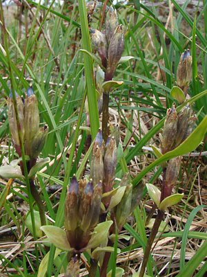
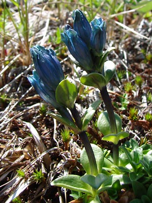
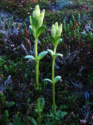
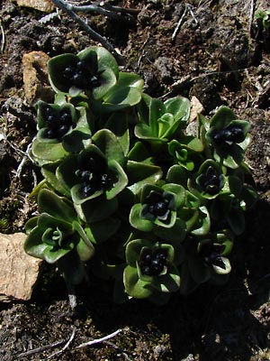 3. Mid-June. Blue-flowered stems in early bud stage. |
 4. Early June. Close-up of blue-flowered stems in early bud stage. |
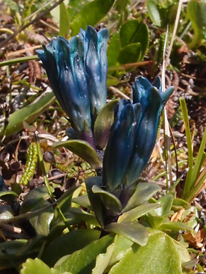
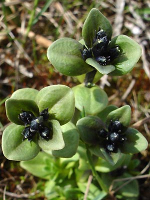
 5. Early July. Blossoms about to open. Note that not all blossoms are in the terminal cluster. Some are on short pedicels arising from the leaf axils. |
 6. Mid-June. Stalks with blossoms in full bloom. |
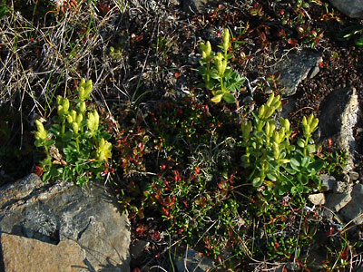
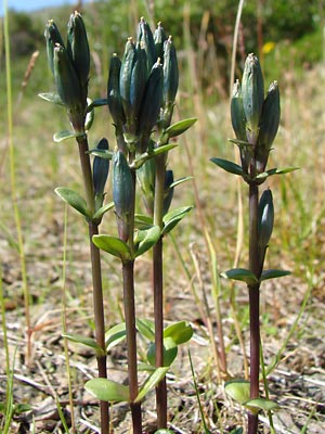
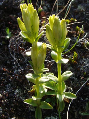
 7. Early June. Young yellow-flowered stems in early bud stage. |
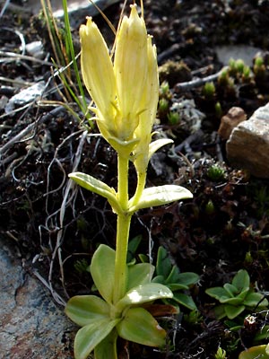
 8. Late June. Yellow blossoms just beginning to open. |
 9. Late July. Yellow blossoms in full bloom. |
 10. Late June. stems with yellowish-green blossoms. |
|
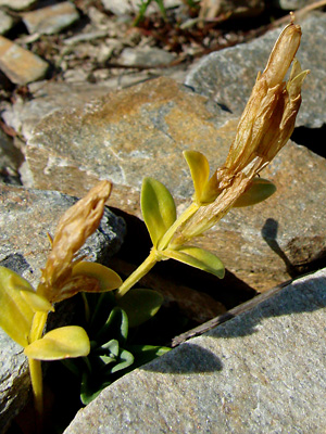 12. July 29, 2009. The "pale gentian" in seed. |
. |
|
|
Photos 1, 2, and 7-10 taken at Photos 3 and 6 taken on a ridge southeast Photos 4 and 12taken on Eagle Summit Photo 5 taken along Mastodon Creek
|
Photo 11 taken on the Central Photo 14 taken at 25.2 mile Pinnell Photo 15 taken at 26.7 mile Pinnell
|
||