Home Page
Kingdom
Index Plant
Index Magnoliopsida
Index Fabaceae
Index
Oxytropis nigrescens var. nigrescens (Pall.)
Fisch. ex DC.
20 photos.
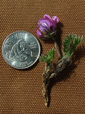
The "blackish oxytrope" or "purple oxytrope" is a low
lying, early blooming, hairy species
favoring rocky terrain at higher elevations.
ITIS Taxonomic Serial No. 26159

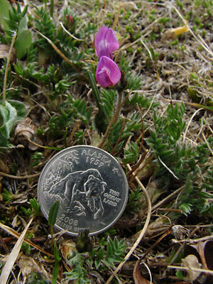
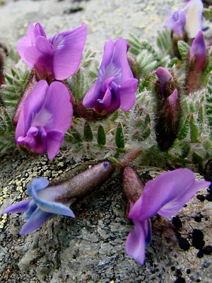
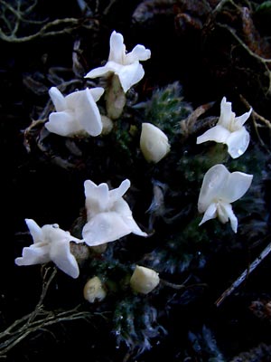
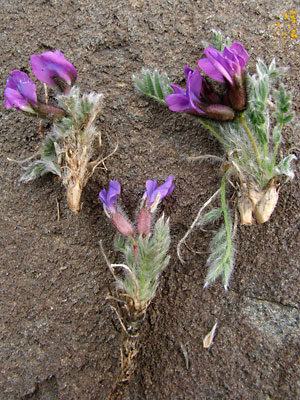
1. May 20, 2007. Several blossoms in bloom before the leaves
turn green.
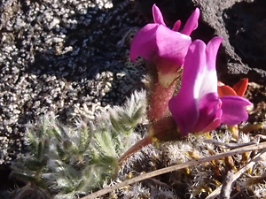
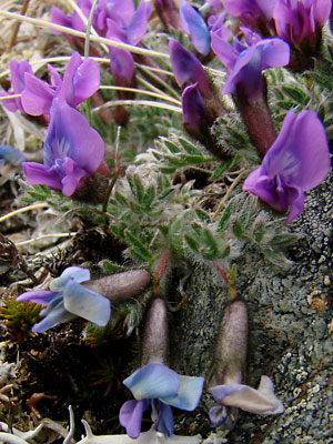
 2. June 18, 2007. A pair of blossoms amid hairy leaves. |
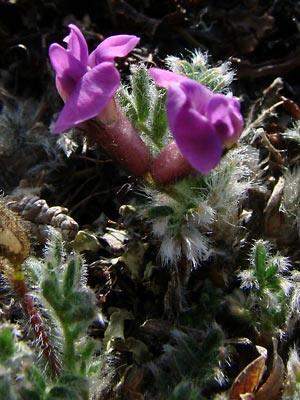
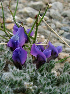
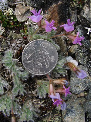
 3. June 9, 2008. Plant with blossoms and buds and four leaves in center which are not hidden by hairs. |
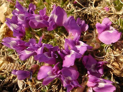
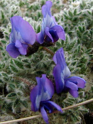
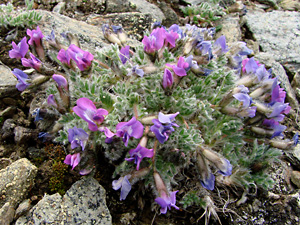
 4. June 9, 2008. Another group of blossoms with varying colors. The blue color may be the result of age related fading. Note the lower right blossom. |
 5. June 9, 2008. Several blue blossoms. |
 6. June 9, 2008. Close-up of several blue blossoms. |
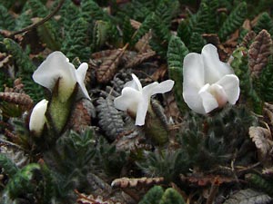
 7. May 30, 2007. Top view of white blossoms and buds. |
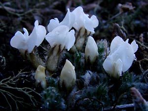 8. May 30, 2007. Side view of blossoms and buds in photo 6. |
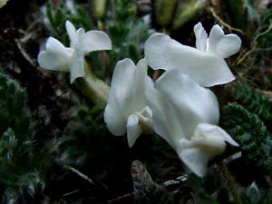 9. June 5, 2007. Close-up of several white blossoms. |
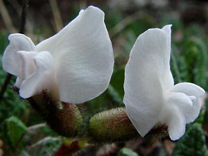 10. June 9, 2008. Extreme close-up of a pair of white blossoms. |
 11. June 9, 2008. Another group of white blossoms. Note some color on the right blossom. |
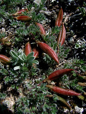 12. June 18, 2007. Seed pods. |
 13. June 21, 2007. Seed pods on a less hairy plant. |
|
 15. June 5, 2009. Profile view of part of a plant. |
 16. June 5, 2009. Pieces of several plants showing the variation in the color of the hairs on the caylx. |
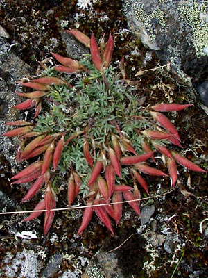
 17. June 5, 2009. Top view of a plant with Orange pedicels. |
 18. June 5. 2009. Another large plant. |
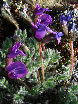 19. June 8, 2009, Profile view of part of a plant with long orange pedicels. |
|
Photo 1 taken southwest of Eagle Photos 2, 7-9 and 12 Photos 3-6, 10, 11 and 14-18 taken along Photo 13 taken on a mountain top |
Photo 19 taken on a ridge 2 miles southeast Photo 20 taken on the Central |