Home
Page Kingdom
Index Plant
Index Magnoliopsida
Index Ericaceae
Index
Vaccinium uliginosum L.
12 photos.
A small, semi-prostrate to erect, branching, deciduous shrub with a variety
of common names
such as "bog blueberry", "bog bilberry", "bog whortleberry",
"alpine blueberry", "northern bilberry",
"moorberry" and so on.
ITIS Taxonomic Serial No. 23574
1. Mid-June. Blooming shrub photographed from below.
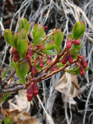 2. Late May. Branches in bud. |
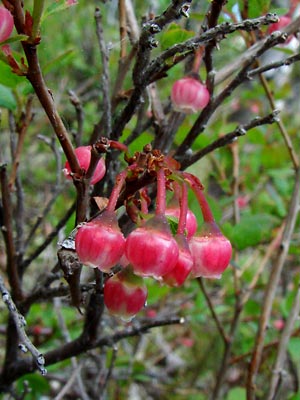 3. Mid June. Blossom cluster. Note the lack of leaves. |
 4. Mid June. A semi-prostrate shrub with white blossoms. |
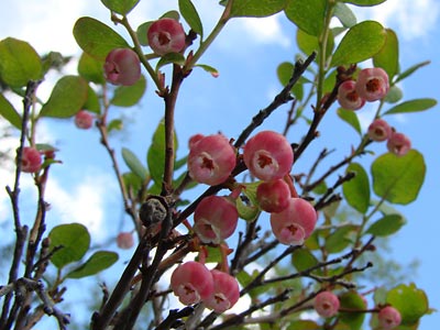
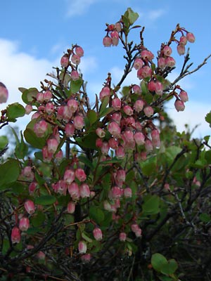 5. Mid-June. Branches heavily loaded with blossoms. |
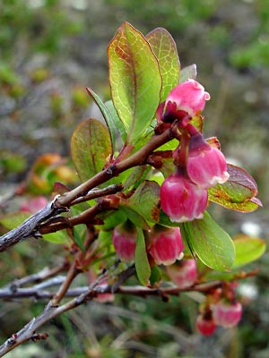 6. Mid-June. Another branch with blossoms. Note the transition on the branch to a woody stem and also the red color on the margins and veins of the leaves. |
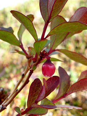 7. Late June. A single blossom among reddish leaves. |
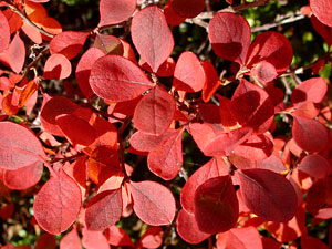
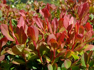 8. Mid-June. A plant with red leaves. |
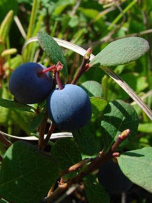 9. Early July. Ripening berries. |
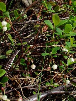
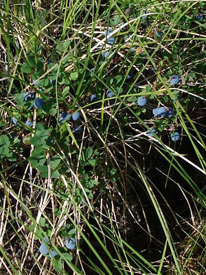 10. Early July. A small shrub with ripening berries nearly hidden in the grass. |
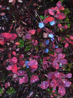 11. Early September. Shriveled berries on a shrub with red fall leaves. The berries shrivel after a frost. |
|
Photos 1-3 taken along Upper Photo 4 near upper Half Dollar Photos 5 and 8 taken 1.5 miles northeast Photo 6 taken on Portage Summit Photo 7 taken along small road |
Photos 9 and 10 taken in a bog next to a thaw Photo 11 taken near 8.4 mile Photo 12 taken near 5.2 mile |
|
|
|
||