Home
Page Kingdom
Index Plant
Index Magnoliopsida
Index Ericaceae
Index
Rhododendron tomentosum Harmaja
Ledum palustre L.
17 photos.
This species is known as "marsh Labrador tea" or "narrowleaf
Labrador tea". Unless you're
a big fan of cramps and paralysis it might be best to pass on this one.
ITIS Taxonomic Serial No. 894434

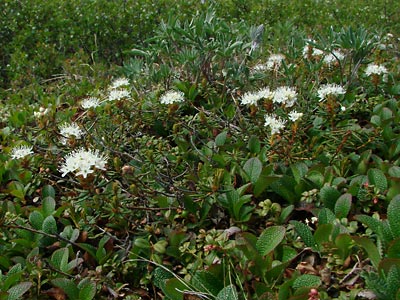
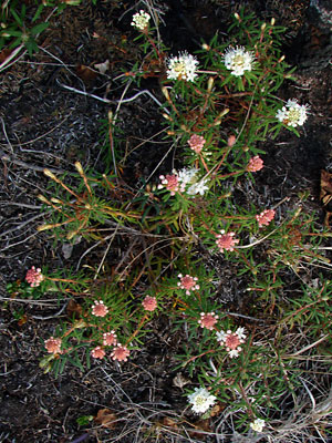
1. The species in habitat. Palustre is more prevalent
than groenlandicum in the higher
elevations although both are found side by side in both high and low elevations.
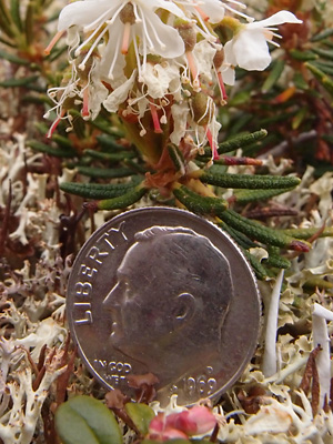
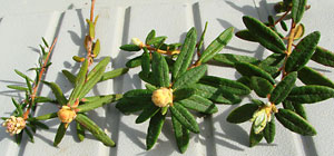
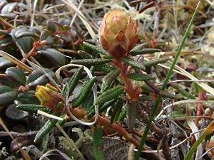 2. Early June. Two stems with buds. |
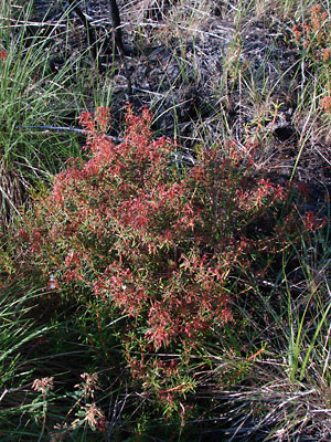
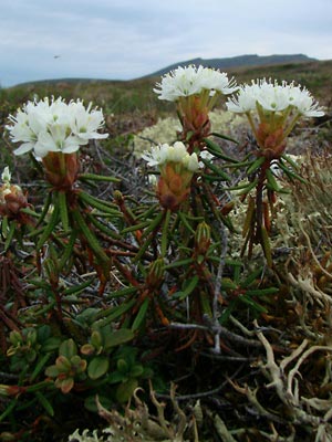 3. Early June. Several flowering stems. |
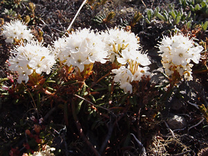
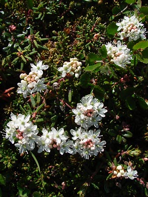
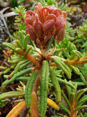
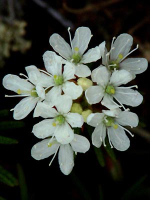 4. Early June. Top view of a blooming cluster. |
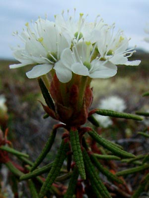 5 . Early June. Side view of a cluster |
 6. Late June. Top view of several clusters with the outer members in bloom and the inner members in bud. |
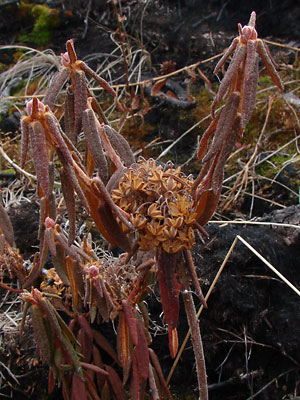
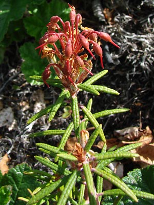 7. Early July. Developing capsules. |
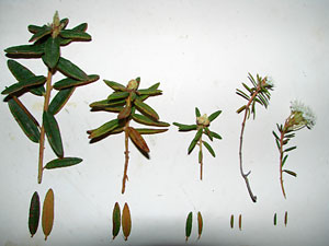 8. Mid-June. Sprigs and leaves from five plants. The three on the left are from L. groenlandicum, the two on the right are from L. palustre. |
 9. Mid-June. Similar but a top view with L. palustre on the left and 3 of L. groenlandicum on the right. |
|
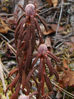
 11. May 14, 2009. Upper stems of several plants, some with last year's capsules. |
 12. June 4, 2009. Several plants with blossoms either budding or in early bloom. Note some of the plants have white buds rather than pink. |
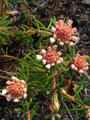 13 June 4, 2009. Close-up of blossoms just beginning to bloom. |
 14. June 25, 2009. A cluster of plants which have gone to seed. |
 15. July 11, 2009. Close-up of upper stem with capsules. |
|
|
Photo 1 taken 1.5 miles northeast Photos 2-5 taken along small road Photo 6 taken on Eagle Summit Photo 7 and 10-15 taken in a bog next to Photos 8 and 9 taken near |
Photo 16 taken southwest of the Mountain Photo 17 taken on the Central
|