Home
Page Kingdom
Index Plant
Index Magnoliopsida
Index Crassulaceae
Index
Rhodiola integrifolia ssp. integrifolia
Raf.
20 photos.
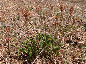
This unisexual succulent plant with multiple stems arising from a rhizome
is known as the "ledge stonecrop", "Pacific roseroot"
or "king's crown".
ITIS Taxonomic Serial No. 566078
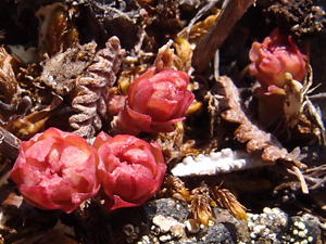
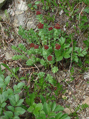
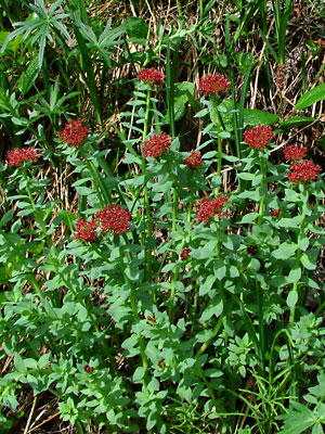
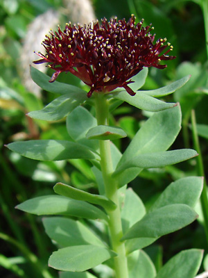
1. Late June. A group of blooming stems.
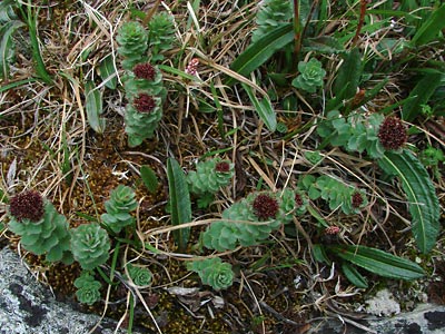
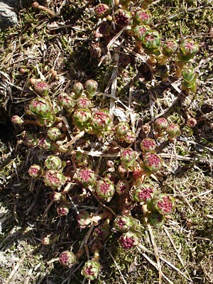 2. Early July. A group of sprouting stems. |
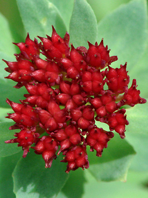
 3. Early July. Seed pods. |
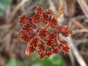
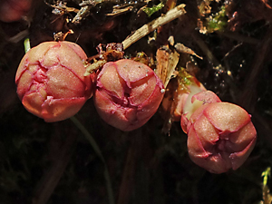
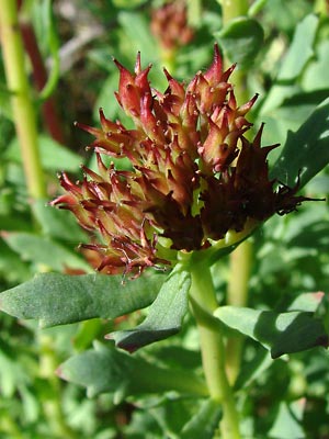 4. Early July. Close-up of seed pods. |
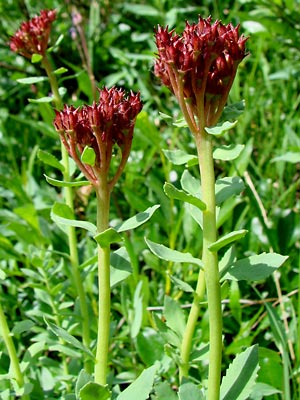
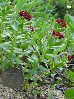
 5. July 11, 2009. A cluster of female stems |
 6. July 11, 2009. Close-up of a cluster of male stems. |
 7. July 11, 2009. Another cluster of male stems. |
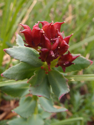
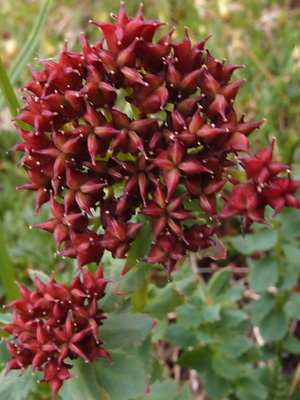
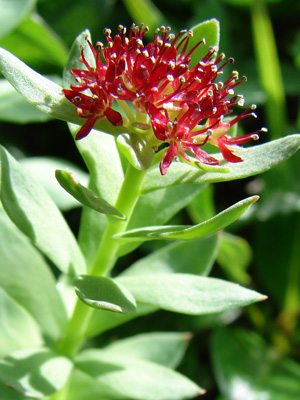
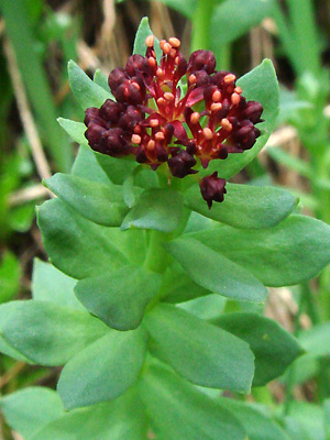 8. July 11, 2009. Terminal male inflorescence with buds and blooms. |
 9. June 7, 2009. Another male inflorescence with the central flowers in bloom. |
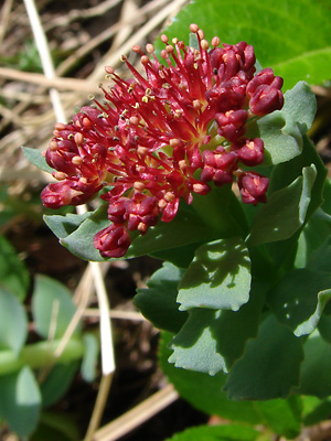
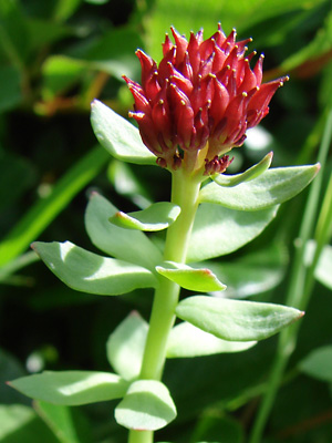
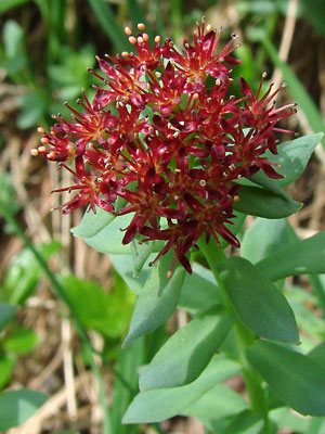 10. July 11, 2009. Another male inflorescence in full bloom. |
 11. July 11, 2009. Ditto. |
 12. July 11, 2009. Ditto. |
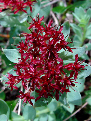
 13. July 11, 2009. And still another. Note the color variation. |
 14. July 11, 2009. Female inflorescence in seed. |
 15. July 11, 2009. Another female inflorescence in seed. Note the 4-merous follicles. |
|
|
|
|
|
|
|
 21 June 15, 2012. Sprouting stems. |
Photo 1 taken along the Pinnell Mountain Photo 2 taken at the headwaters of Photos 3 and 5-15 taken in a ravine on the Photo 4 taken along Mastodon Creek just
|
Photo 16 taken 1.5 miles southeast Photos 17 and 18 taken southwest of the photos 19 and 20 taken on the Central |
Photo 21 taken on Mastodon Creek
|
|