Home Page
Kingdom
Index Plant
Index Magnoliopsida
Index Boraginaceae
Index
Mertensia paniculata (Ait.) G. Don
21 photos.
The "tall lungwort" or "tall bluebells", this plant
thrives in the woods, in burn areas and along roads.
Three of the four varieties are found in Alaska.
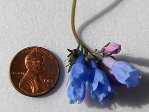
ITIS Taxonomic Serial No. 31664
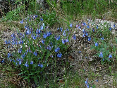
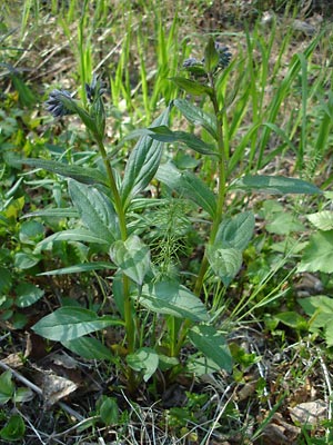
1. Mid June. Clusters of plants on a little-used road.
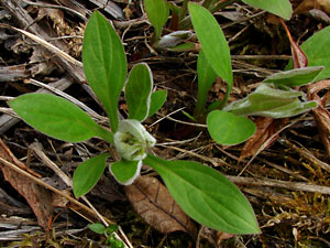
 2. Late May. Several narrow-leaved budding plants. |
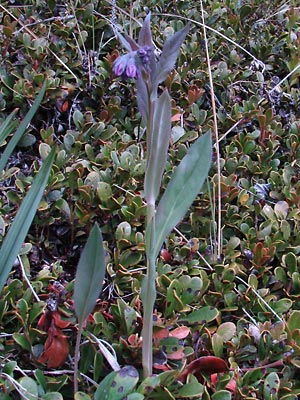 3. Late May. A narrow-leaved plant in late bud stage. |
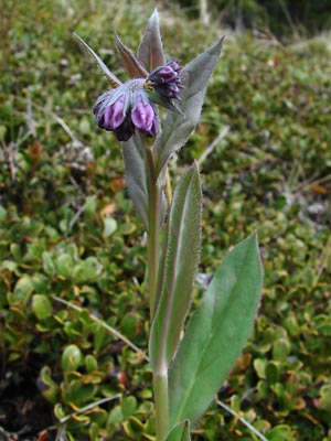 4. Close-up of plant in 3. |
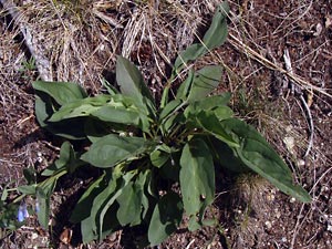
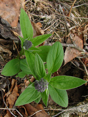
 5. Early June. A budding plant with relatively broad leaves. |
 6. Early June. A cluster of several narrow-leaved Budding plants. |
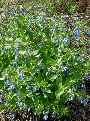
 7. Late June. Broad Leaved cluster |
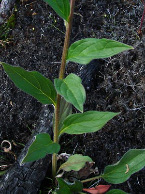 8. Late June. Close-up of stem of a tall, Broad-leaved plant. |
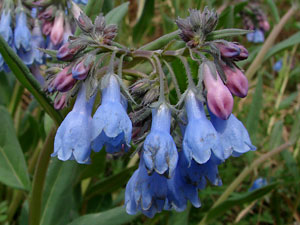
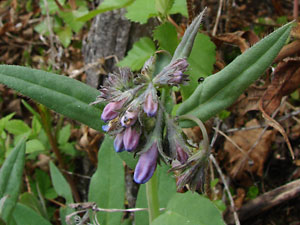
 9. Early June. Terminal cluster of blossoms |
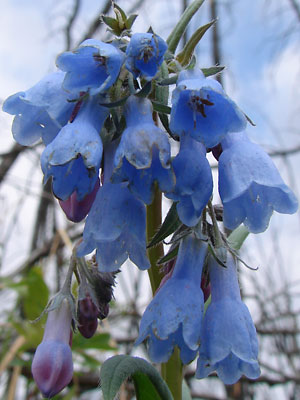
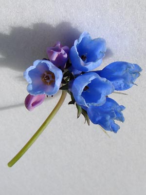 10. Closer view of same cluster as in 9, with flowers turned to show internal structure. |
 11. Mid -June. View of fertilized cluster which had dropped from plant. |
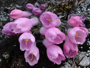
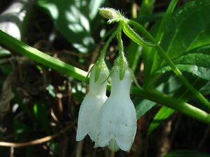 12. Early July. Rare white blossoms. |
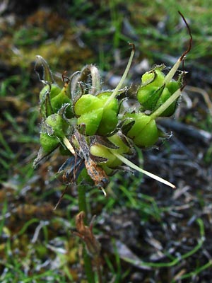 13. Late June. Nutlets after corolla has dropped from the plant. |
 14. May 28, 2009 Top view of a budding plant. |
|
 16. May 28, 2009. Blossoms from below. |
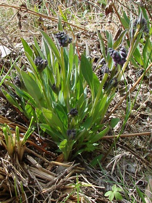
 17. June 7, 2009 A cluster of plants viewed from above. |
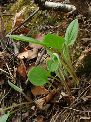 18. May 28, 2009. Sprouting plants. |
 19. May 28, 2009. Young plant with bud. |
 20. May 28, 2009. Budding plants. |
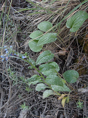 21. June 7, 2009. Large-leaved plant. |
Photos 1, 2, 6, 7, and 9-11 taken along 3 and 4 taken above Upper Bottom Dollar 5. taken in Central. Photos 8 and 13 taken Between 17-mile Photo 12 taken near the smaller |
Photos 14-16 taken on the section Photo 17 taken at approximately 138 mile Photo 18, 19, and 20 taken on the Photo 21 taken at approximately 140
|
||