Home Page
Kingdom
Index Plant
Index Magnoliopsida
Index Boraginaceae
Index
Eritrichium nanum (Vill.) Schrad. ex
Gaudin
17 photos.
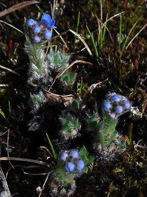
The "arctic alpine forget-me-not", "arctic forget-me-not",
or "mountain forget-me-not", a hairy, mat-forming species
with a compact inflorescence found at higher elevations.
ITIS Taxonomic Serial No. 31904
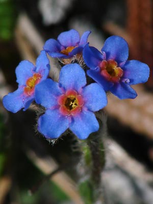
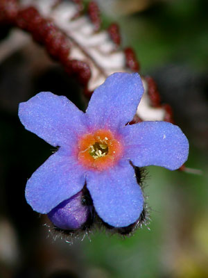
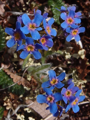
1. Photos 1-9 taken in mid-June. Deep blue flowers with
orange and purple fornices.
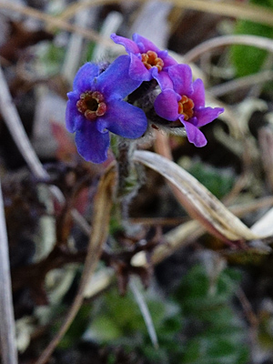
 2. Possibly a miniature. The larger blossoms were added to show the difference in size. |
|
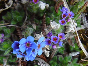
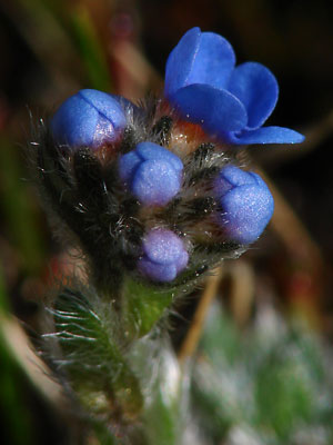
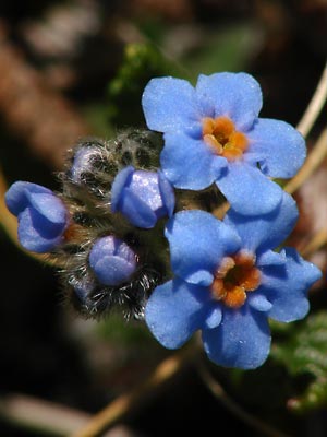 4. Orange fornices, hairy buds and partially opened flowers. |
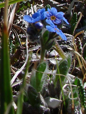 5. Side view showing leaf shape, hairs and linear sepals. |
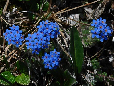
 6. Good view of leaves, flowers and buds. |
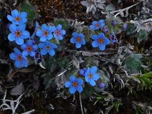
 7. Growing with Dryas octopetala and Salix reticulata. Good view of internal structures within corolla. |
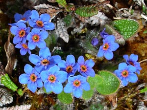
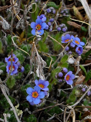 8. Fornices red and orange tending towards yellow in the throat of the corolla. |
 9. Good view of leaves and hairy stems. |
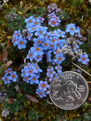 10. June 5, 2009. Mat with coin to indicate the size of the blossoms. |
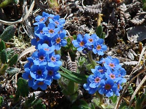
 11. June 8, 2009. A pair of terminal clusters. |
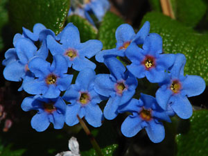
 12. June 8, 2009. A close-up of a single Blossom. |
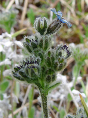
 13. June 8, 2009. Several budding stems. |
 14. June 8, 2009. Close-up of one of the stems in photo 13. |
 15. July 11, 2009. Terminal cluster of a seeding plant. |
 16. June 11, 2010. Several blossoms, some with missing or deformed fornices and petals. |
|
Photos 1, 3 and 6?-8? taken in the saddle between Photos 2 and 15 taken on the Central Photo 4 taken on a ridge just east Photos 5 and 9 taken in the saddle between
|
Photo 10 taken on the east side Photo 11 taken on the south side Photos 13 ad 14 taken in a saddle 1.5 miles Photo 16 taken on the southwest side |
Photo 17 taken on Eagle Summit on the hillside across the Steese highway from the Pinnell trailhead road. 65° 29.00' N, 145° 24.35' W Elev. 3650 ft. |
||