Home Page
Kingdom
Index Plant
Index Magnoliopsida
Index Betulaceae
Index
18 photos.
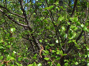
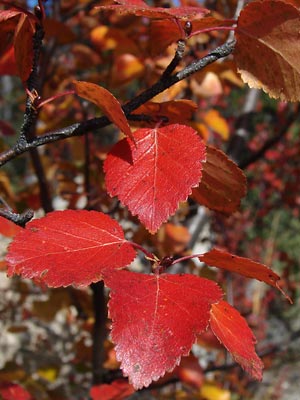
The "river birch", "water birch" or "mountain birch"
is a highly branched shrub and sometimes a
multi-trunked small tree. The leaves are similar to neoalaskana
but vary considerably on a single plant
sometimes being round and resembling glandulosa. Hybrids
with other Betula species are common.
Hultén considered the alaskan B. occidentalis to be a hybrid
of B. neoalaskana and B. glandulosa.
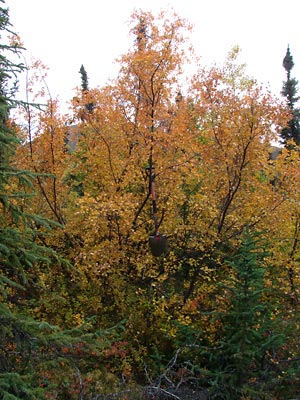
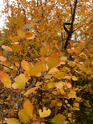
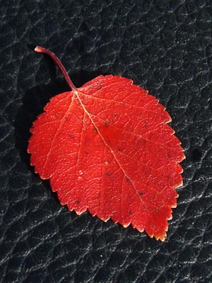
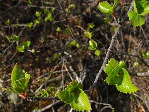 1. Late May. This plant grows adjacent to a glandulosa plant. The leaf in 5 and sprig in 6 are from this plant and the plant is shown with fall colors in 18, and with the adjacent glandulosa in 17 |
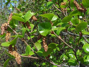 2. Early June. Close-up of plant in 1 showing the male catkins. Note the presence of round leaves. |
|
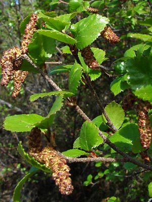 4. Early June. Close-up of 2. |
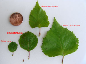 5. Early June. Leaves from the four species of birch in our area. |
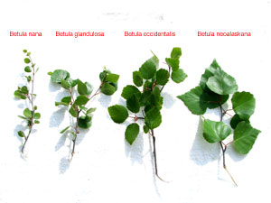 6. Late June. Ends of branches from the four species of birch. |
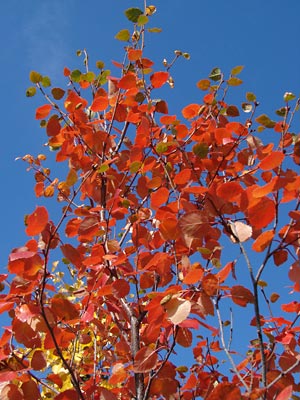
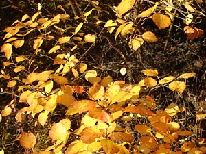
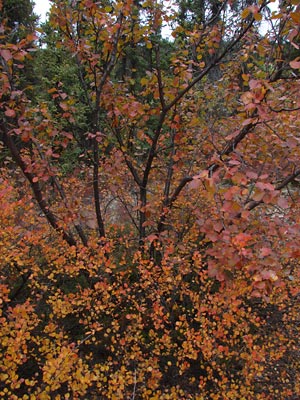 7. Late August. Turning color with nana in the foreground |
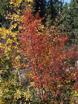
 8. Late August. Tall shrub(s) with many trunks. Shovel in picture is approximately 3 ft long. |
 9. Close-up of leaves in 8. |
 10. Photos 10-16 were taken in late August. All are of parts of the same tree shown in entirety in 11. |
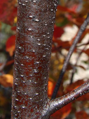
 11. Neoalaskana on left, occidentalis on right Note the change in the bark color on the neoalaskana from bottom to top. |
 12. Closer view of occidentalis. |
 13. Closer view of 12. |
 14. Close-up of upper leaf in 13. |
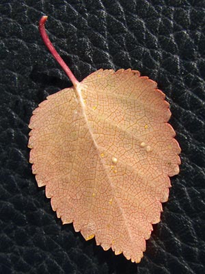 15. Underside of leaf. |
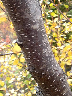 16. Late August Section of a trunk in another area. |
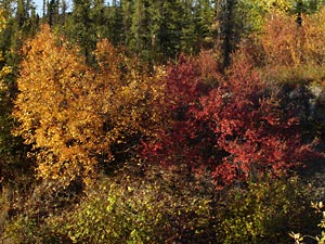 17. Early September. Occidentalis on left, glandulosa on right, nana upper right. |
 18. Closer view of tree in 17. |
Photos 1-6 and 17-18 taken at 8 mile Photos 7-9 taken Photos 10-15 taken at approximately Photo 16 taken near portage summit.
|
||