Home Page
Kingdom
Index Plant
Index Magnoliopsida
Index Asteraceae
Index
Saussurea angustifolia var. angustifolia
(Willd.) DC.
Saussurea angustifolia var. yukonensis Porsild
20 photos.
This is the "narrowleaf saw-wort" or "narrow-leaved Saussurea".
There are two varieties in our area."
var. angustifola is the tall lowland plant and var. yukonensis is the short
plant of the mountains.
The species has only disc flowers.
ITIS Taxonomic Serial No.531232 (angustifolia) ITIS Taxonomic Serial No. 531524 (yukonensis)
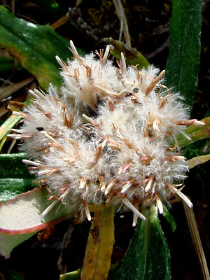
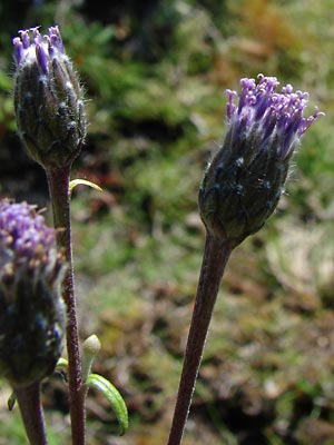
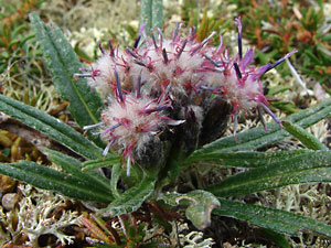
 1. Early July. Top view of terminal cluster. Variety angustifolia |
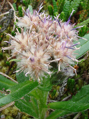
 2. Early July. Side view of terminal cluster. Variety angustifolia |
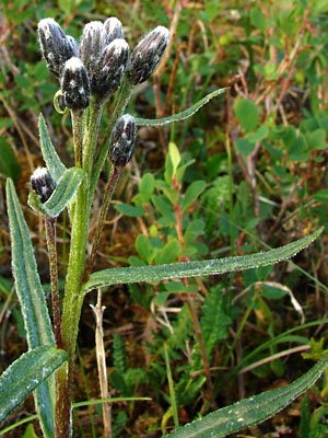
 3. Early July. Side view just out of bud stage. Variety angustifolia |
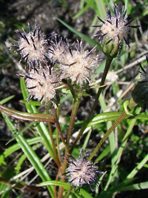 4. Early July. Going to seed. Variety angustifolia |
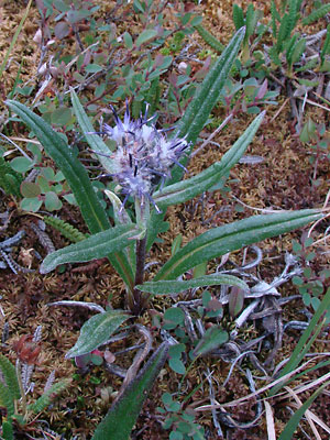
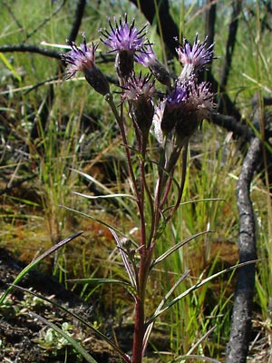
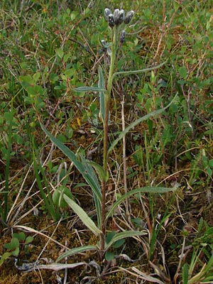
 5. Early July. Entire plant. Variety angustifolia |
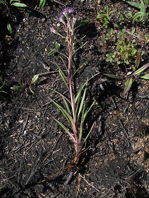
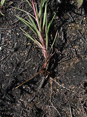 6. Early July. Lower plant section. Variety angustifolia |
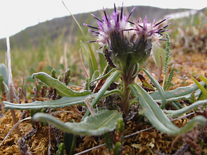
 7. Late June. Profile of plant in place. Variety angustifolia |
 8. Late June. Terminal cluster in bud stage. Variety angustifolia |
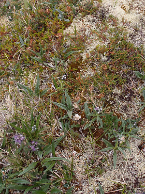
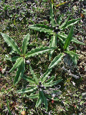 9. Late June. A group of plants. Variety yukonensis |
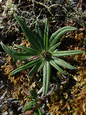 10. Late June. Plant in bud. Variety yukonensis |
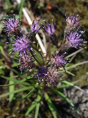
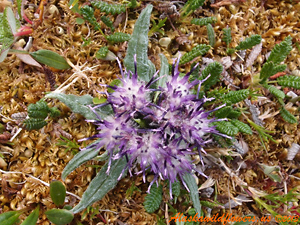
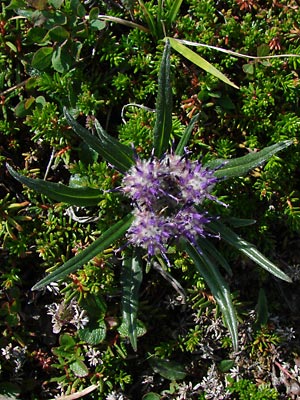 11. Early July. Plant in bloom Variety yukonensis |
|
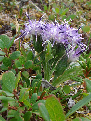 13. July 11, 2009. Profile view of variety yukonensis. |
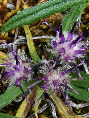 14. July 11, 2009. Top view of variety yukonensis. |
 15. July 11, 2009. Variety yukonensis beginning to fade. |
 16. July 11, 2009. variety yukonensis. with little color left. |
|
|
 19. July 6, 2013. Closeup profile view of a single plant. Variety yukonensis. |
 20. Close-up from the top of a single plant. Variety yukonensis. |
Photos 1-8 taken in burn area Photos 9-11 taken on Eagle summit. Photos 12, 16 and 18-20 taken on the Central Photos 13-15 taken on Eagle Summit on the |
Photo 16 taken above the Pinnell
|
||