Home Page     Kingdom Index      Plant Index    Magnoliopsida Index      Apiaceae Index


Podistera macounii (Coult. & Rose) Mathias & Constance
11 photos.
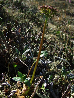
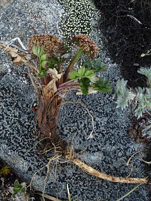
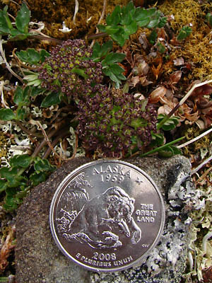
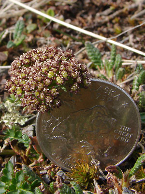
"Macoun's woodroot" a small plant which appears at high elevations, shortly after the snow is off the tundra.

ITIS Taxonomic Serial No. 29829


1.Close-up, side view of plant in mid-June growing among black caribou moss lichens.


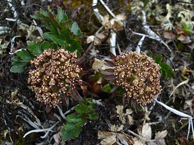
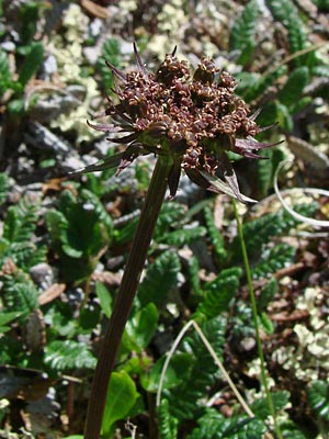
2.  Close-up top view of same plant.


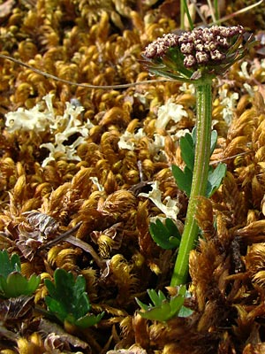
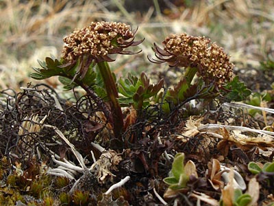
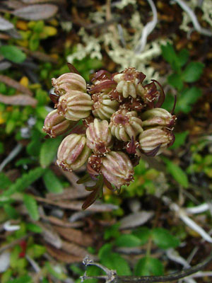
3.  Late June close-up top view of a plant among light-colored caribou moss lichens.


4.  Mid-june side view of a plant among
lichens, heather and mountain avens.


5.  Mid-june side view of same plant among
lichens and mountain avens.


6.  Early June side view of a plant among
lichens and moss.


7.  Plant in photos 1 and 2 showing taproot.


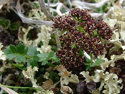
8.  June 1. 2009.  Top view of plant in bloom.


9.  July 11, 2009.  Top view of a seeded plant.


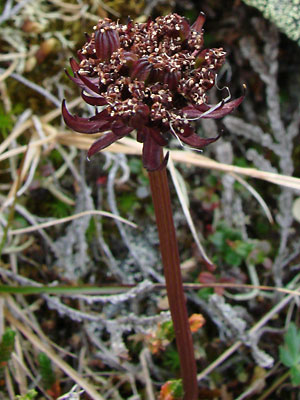
10.  Side view of a seeded plant.


11. May 28, 2011.  Top view of a young
plant prior to stem elongation.


Photos 1, 2, 5 and 7 taken on a ridge
SE of Eagle Summit
65°28.314' N,  145°21.265' W
Elev. 3950 ft.

Photo 3 taken along the Pinnell Mountain trail
at approximately 5 mile.

Photo 4 taken on a ridge just east
of Eagle Summit.
65°  29.5' N,   145°  23.28' W
Elev. 3800 ft.

Photo 6 taken on the Central
side of Eagle Summit.
65°  30.08' N,   145°  22.84' W
Elev. 3700 ft.

Photo 8 taken along Pinnell Mountain trail
at 25 mile.
Latitude: N 65° 25' 17.023"
Longitude: W 145° 56' 36.13"
Altitude: 1237.83 m


Photo 9 taken on the east hillside above
the ravine just west of Twelvemile summit.
65° 23.7' N, 145° 59.1' W
Elev. 3050 ft.

Photo 10 taken above the Pinnell
Mountain Trail near milepost 2.
Latitude: N 65° 29' 37.348"
Longitude: W 145° 28' 10.683"
Altitude: 1276.77 m

Photo 11taken in the saddle between the
left fork of Mastodon Fork of Eagle Creek
and Baker Gulch.
Latitude: N 65° 27' 32.824"
Longitude: W 145° 21' 10.277"
Altitude: 1211.88 m