Home Page
Kingdom
Index Plant
Index Magnoliopsida
Index Apiaceae
Index
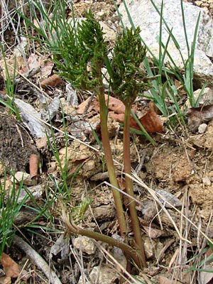
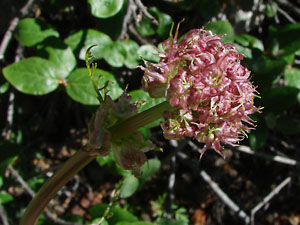
Cnidium cnidiifolium (Turcz.) Schischkin
27 photos.
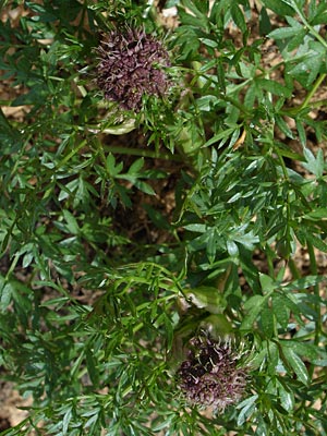
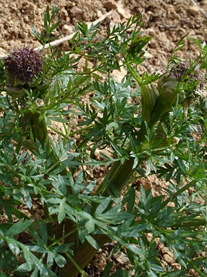
A roadside plant found in our area known as the "Jakutsk snowparsley"
or "northern hemlock-parsley".
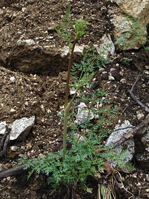
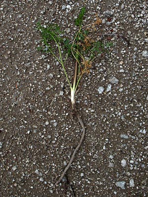
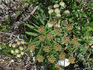
Photos 1-17 are arranged by time of year but come from a three-year period.
10 photos added
from 2009 and 2010.
|
|
|
|
|
|
|
|
|
|
|
|
|
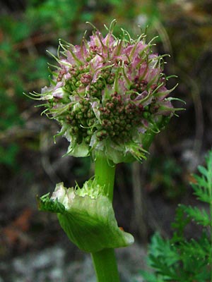
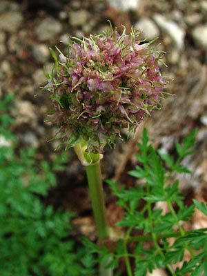
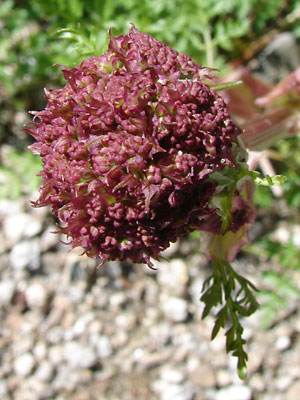
 14. July 15, 2008, bud from another plant, note variation. |
|
|
|
|
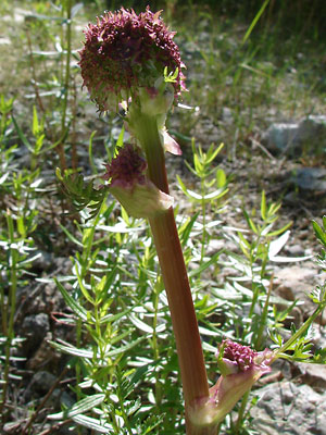 18. June 17, 2009. Side view of the top of a budding plant. |
 19. June 17, 2009. Top view of the terminal budding umbel in photo 18. |
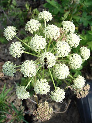
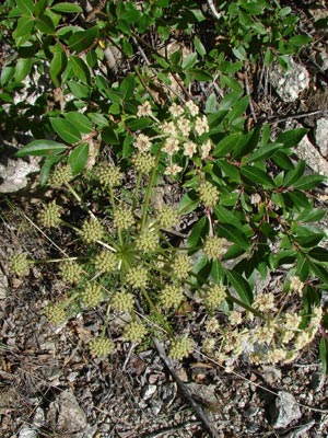
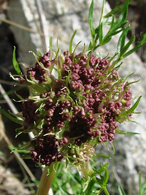
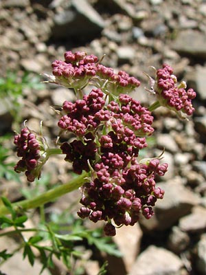
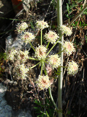 20. July 24, 2009. An umbel in full bloom. |
 21. July 24, 2009. Blooming and seeding umbels. |
|
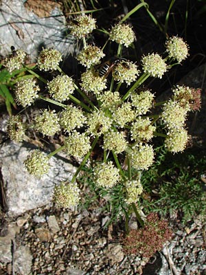
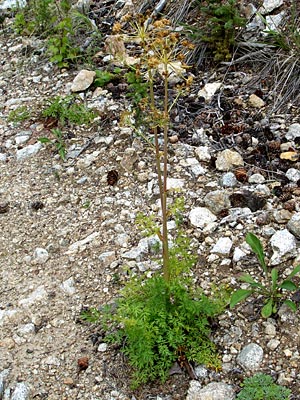
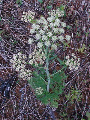 23. June 27, 2010. High angle view of a single plant with the main umbel in full bloom. |
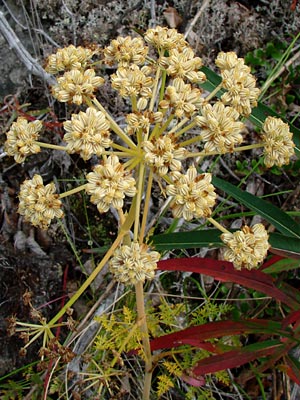
 24. June 27, 2010. The main umbel from photo 23. |
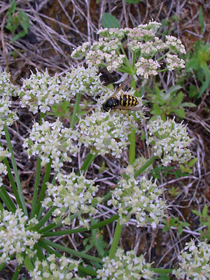
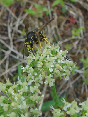 25. June 27, 2010. Close-up of the umbel with visitor. |
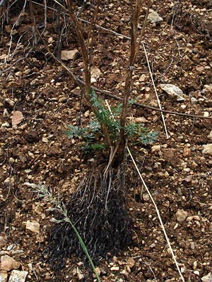
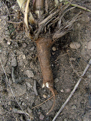 26. June 27, 2010. The woody vertical caudex with two of the roots intact. |
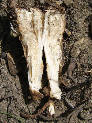 27. June 27, 2010. The caudex in photo 26, split to show internal structure. |
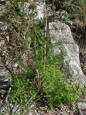
1-6 and 8-22 taken along Upper Bottom Photo 7 taken Between Quartz and Jumpoff Creeks Photos 22-25 taken between the two Photos 26 and 27 taken within the |
||